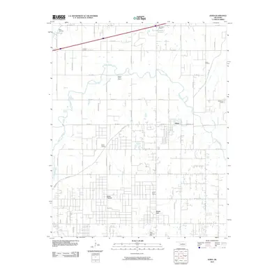
2010 Map of Jones
USGS Topo · Published 2010About this map
The North Canadian River meanders across this central Oklahoma landscape, defining the topography between the town of Jones and the settlement of Green Pastures. This 2010 survey reflects a period of established rural-suburban transition, where large family holdings like Hopcus Farms Airport sit adjacent to growing residential grids. Genealogists will find significant value in the documentation of local burial sites, including the Lillard Cemetery near the river's northern bend, the Chitwood Cemetery further west, and Mount Moriah Cemetery located near Spencer Road.
Find a feature on this map
54 named features on this map. Tap any name to fly to it.
Don’t see what you’re looking for? This feature index may not catch every label — zoom into the map to look around manually.
Map Details
Editions of this 2010 Jones Map
This is the sole edition of this map. No revisions or reprints were ever made.
Other maps of this area

1892 · Moore
USGS Topo · 1:62,500

1892 · Edmond
USGS Topo · 1:62,500

1898 · Purcell
USGS Topo · 1:125,000

1909 · Luther
USGS Topo · 1:62,500

1930 · McLoud
USGS Topo · 1:62,500

1934 · Crutcho Creek
USGS Topo · 1:24,000

1934 · Moore
USGS Topo · 1:62,500

1935 · Spencer
USGS Topo · 1:24,000

1935 · Edmond
USGS Topo · 1:48,000

1938 · Moore
USGS Topo · 1:62,500