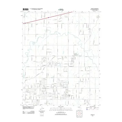
2012 Map of Jones
USGS Topo · Published 2012About this map
The North Canadian River meanders across this landscape, carving a wide valley that defines the local topography. On the northern banks, the town of Jones serves as a central hub, while the residential area of Green Pastures occupies the southern reaches near Dunjee Park. This survey captures a dense network of country roads and family-named routes, including Buggy Ln and Longhorn Dr, reflecting the area's rural-to-suburban character in Oklahoma County.
Find a feature on this map
187 named features on this map. Tap any name to fly to it.
Don’t see what you’re looking for? This feature index may not catch every label — zoom into the map to look around manually.
Map Details
Editions of this 2012 Jones Map
This is the sole edition of this map. No revisions or reprints were ever made.
Other maps of this area

1892 · Moore
USGS Topo · 1:62,500

1892 · Edmond
USGS Topo · 1:62,500

1898 · Purcell
USGS Topo · 1:125,000

1909 · Luther
USGS Topo · 1:62,500

1930 · McLoud
USGS Topo · 1:62,500

1934 · Crutcho Creek
USGS Topo · 1:24,000

1934 · Moore
USGS Topo · 1:62,500

1935 · Spencer
USGS Topo · 1:24,000

1935 · Edmond
USGS Topo · 1:48,000

1938 · Moore
USGS Topo · 1:62,500