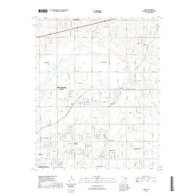
2018 Map of Jones
USGS Topo · Published 2018About this map
The North Canadian River meanders across this portion of central Oklahoma, carving a green corridor through the expanding residential landscapes of Oklahoma City and Edmond. This 2018 survey reveals a complex network of established communities and newer subdivisions, particularly around Jones and Choctaw. Genealogists will find considerable value in the documentation of local burial sites, ranging from larger tracts like Oaklawn Memorial Gardens and Hillcrest Memory Gardens to more historic locations such as Chitwood Cem and the Lillard and Woodard Cem. The map also details smaller residential pockets such as Green Pastures and Dunjee Park, while highlighting local water features including Pate Lake and Silver Creek that define the local drainage patterns.
Find a feature on this map
173 named features on this map. Tap any name to fly to it.
Don’t see what you’re looking for? This feature index may not catch every label — zoom into the map to look around manually.
Map Details
Editions of this 2018 Jones Map
This is the sole edition of this map. No revisions or reprints were ever made.
Other maps of this area

1892 · Moore
USGS Topo · 1:62,500

1892 · Edmond
USGS Topo · 1:62,500

1898 · Purcell
USGS Topo · 1:125,000

1909 · Luther
USGS Topo · 1:62,500

1930 · McLoud
USGS Topo · 1:62,500

1934 · Crutcho Creek
USGS Topo · 1:24,000

1934 · Moore
USGS Topo · 1:62,500

1935 · Spencer
USGS Topo · 1:24,000

1935 · Edmond
USGS Topo · 1:48,000

1938 · Moore
USGS Topo · 1:62,500