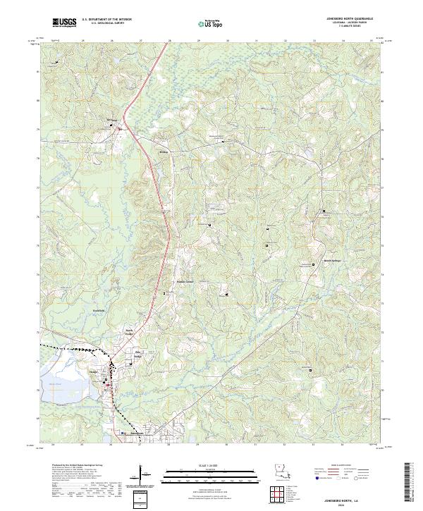
2024 Map of Jonesboro North
USGS Topo · Published 2024About this map
Quitman and Hodge anchor this Jackson Parish landscape, where the Dugdemona River and its tributary, the Little Dugdemona River, carve through the north-central Louisiana terrain. The map reveals a dense network of local landmarks, particularly numerous country cemeteries and churches that serve as vital touchstones for family history and genealogy. Notable sites include the Sweetwater Baptist Church Cem and the Jimmie Davis Tabernacle Cem, alongside smaller settlements like Hilltop and Punkin Center. The area’s water system is defined by Sugar Creek and Choctaw Creek, while the southern portion of the map transitions into the industrial and residential corridors of North Hodge and East Hodge. This 2024 edition documents the modern road system, from Beech Springs Rd to the various parish routes that connect these historically significant rural communities.
Find a feature on this map
120 named features on this map. Tap any name to fly to it.
Don’t see what you’re looking for? This feature index may not catch every label — zoom into the map to look around manually.
Map Details
Editions of this 2024 Jonesboro North Map
This is the sole edition of this map. No revisions or reprints were ever made.
Other maps of this area

1947 · Goldonna
USGS Topo · 1:62,500

1947 · Bienville
USGS Topo · 1:62,500

1949 · Bienville
USGS Topo · 1:62,500

1949 · Jonesboro
USGS Topo · 1:62,500

1950 · Jonesboro
USGS Topo · 1:62,500

1953 · Hodge
USGS Topo · 1:62,500

1955 · Shreveport
USGS Topo · 1:250,000

1956 · Shreveport
USGS Topo · 1:250,000

1957 · Goldonna
USGS Topo · 1:62,500

1984 · Shreveport
USGS Topo · 1:250,000