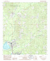
1985 Map of Jonesboro North
USGS Topo · Published 1986About this map
The Dugdemona River basin dominates this mid-1980s landscape, where a series of industrial and residential nodes follow the primary transit corridors of northern Jackson Parish. In the south, the industrial infrastructure of Hodge and East Hodge is prominent, featuring significant utility footprints like the Sewage Treatment Plant and Sewage Lagoon near the riverbanks. The settlement pattern extends northward through Punkin Center toward Quitman, reflecting the traditional logging and agrarian layout of the region.
Find a feature on this map
22 named features on this map. Tap any name to fly to it.
Don’t see what you’re looking for? This feature index may not catch every label — zoom into the map to look around manually.
Map Details
Editions of this 1985 Jonesboro North Map
This is the sole edition of this map. No revisions or reprints were ever made.
Historical Maps of Jonesboro Through Time
21 maps found

1982 Chatham SE
Jackson Parish, LA
1985 Clay
Jackson Parish, LA
1985 Curr Creek
Jackson Parish, LA
1985 Jonesboro North
Jackson Parish, LA
1985 Jonesboro South
Jackson Parish, LA
1985 Monroe South
Jackson Parish, LA
1985 Vernon
Jackson Parish, LA
1985 Weston
Jackson Parish, LA
1989 Womack
Jackson Parish, LA
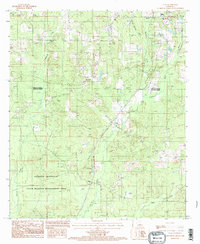
1994 Clay
Jackson Parish, LA
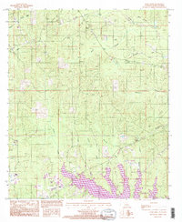
1994 Curr Creek
Jackson Parish, LA
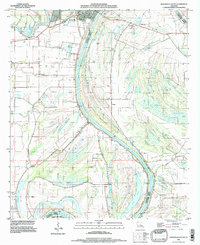
1994 Jonesboro South
Jackson Parish, LA
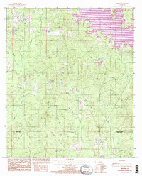
1994 Weston
Jackson Parish, LA
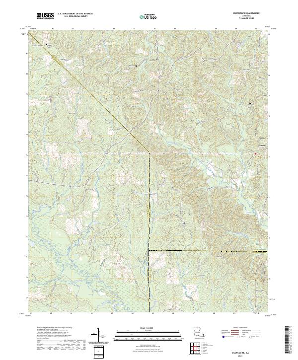
2024 Chatham SE
Jackson Parish, LA
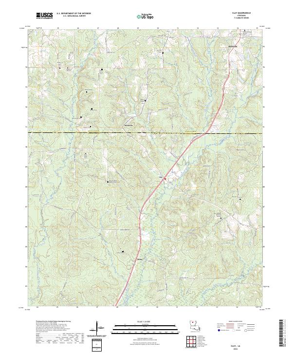
2024 Clay
Jackson Parish, LA
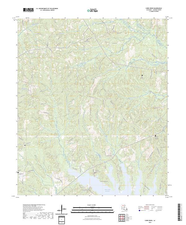
2024 Curr Creek
Jackson Parish, LA
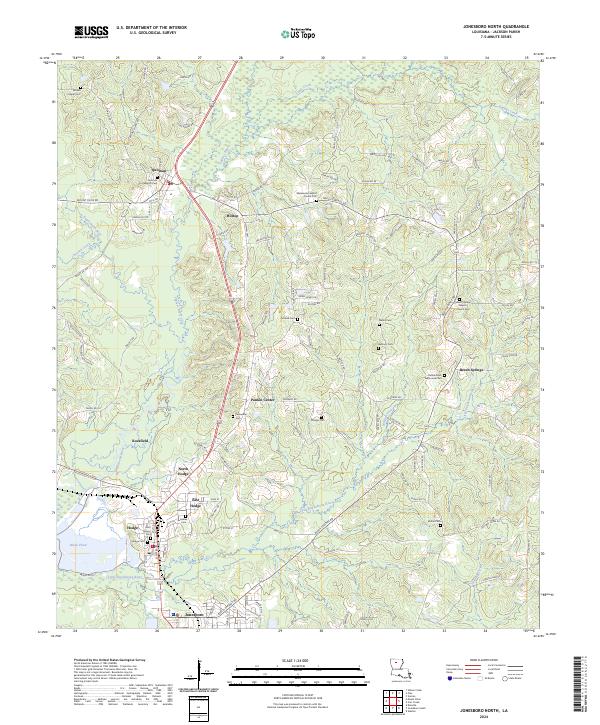
2024 Jonesboro North
Jackson Parish, LA
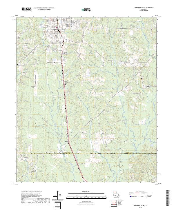
2024 Jonesboro South
Jackson Parish, LA
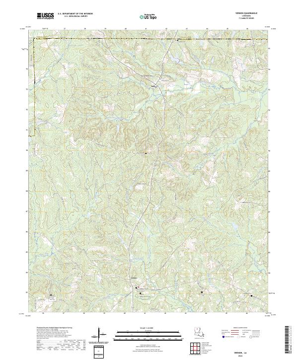
2024 Vernon
Jackson Parish, LA
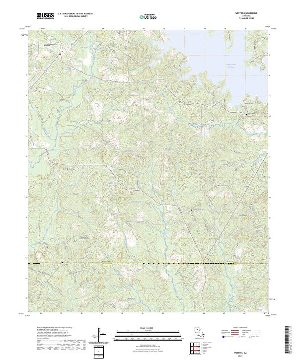
2024 Weston
Jackson Parish, LA
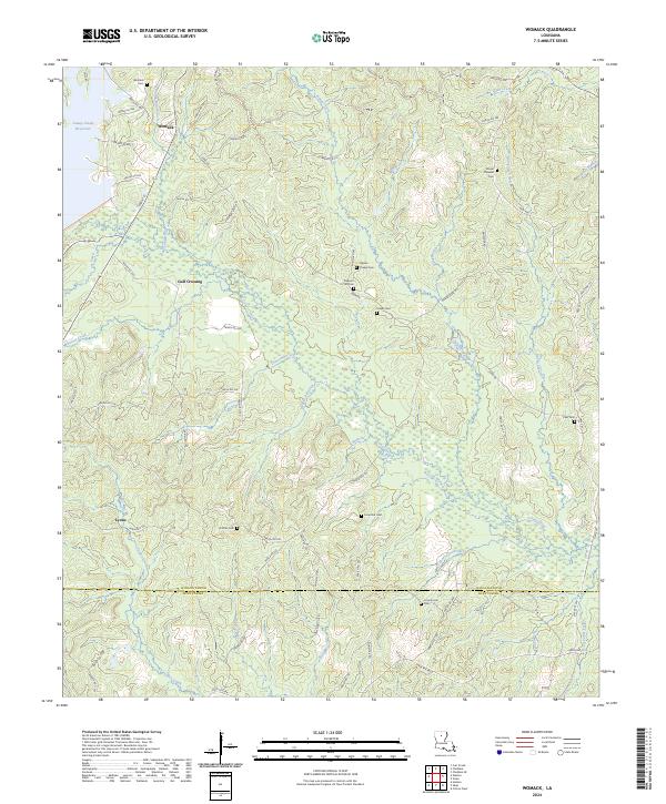
2024 Womack
Jackson Parish, LA