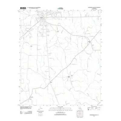
2012 Map of Jonesboro South
USGS Topo · Published 2012About this map
Jonesboro serves as the primary hub at the northern edge of this study, where a dense grid of residential streets like Holley Dr and Durbin Cir transitions into the industrial and resource-rich landscape of Jackson Parish. The presence of the Jonesboro Gas Field and the Jonesboro Lookout Tower underscores the region's historical reliance on timber and natural gas extraction. Moving south, the terrain is defined by a network of waterways, including Antuine Cr and Big Cr, which wind through a landscape dotted with small, dispersed settlements and crossroads.
Find a feature on this map
138 named features on this map. Tap any name to fly to it.
Don’t see what you’re looking for? This feature index may not catch every label — zoom into the map to look around manually.
Map Details
Editions of this 2012 Jonesboro South Map
This is the sole edition of this map. No revisions or reprints were ever made.
Other maps of this area

1947 · Goldonna
USGS Topo · 1:62,500

1947 · Bienville
USGS Topo · 1:62,500

1949 · Bienville
USGS Topo · 1:62,500

1949 · Jonesboro
USGS Topo · 1:62,500

1950 · Jonesboro
USGS Topo · 1:62,500

1953 · Hodge
USGS Topo · 1:62,500

1955 · Shreveport
USGS Topo · 1:250,000

1956 · Shreveport
USGS Topo · 1:250,000

1957 · Goldonna
USGS Topo · 1:62,500

1984 · Shreveport
USGS Topo · 1:250,000