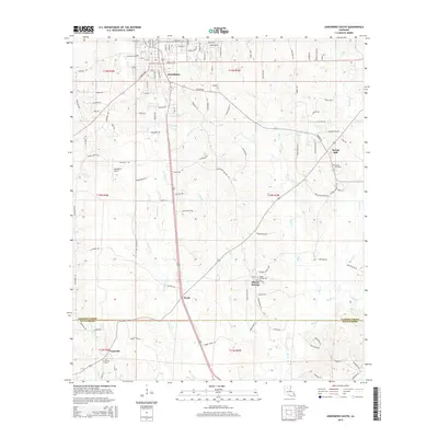
2015 Map of Jonesboro South
USGS Topo · Published 2015About this map
Jonesboro serves as the northern anchor of this landscape where the piney woods of North Louisiana meet the border of Jackson Parish and Winn Parish. The map reveals a pattern of dispersed rural settlements and family-named cemeteries that define the local social geography. To the south, the communities of Wyatt and Gansville are linked by a network of parish roads and the central artery of US-167, while smaller hamlets like Siloam Springs and Spring Hill maintain their distinct identities through their respective churches and burial grounds, such as Siloam Springs Cem and Spring Hill Cem.
Find a feature on this map
110 named features on this map. Tap any name to fly to it.
Don’t see what you’re looking for? This feature index may not catch every label — zoom into the map to look around manually.
Map Details
Editions of this 2015 Jonesboro South Map
This is the sole edition of this map. No revisions or reprints were ever made.
Other maps of this area

1947 · Goldonna
USGS Topo · 1:62,500

1947 · Bienville
USGS Topo · 1:62,500

1949 · Bienville
USGS Topo · 1:62,500

1949 · Jonesboro
USGS Topo · 1:62,500

1950 · Jonesboro
USGS Topo · 1:62,500

1953 · Hodge
USGS Topo · 1:62,500

1955 · Shreveport
USGS Topo · 1:250,000

1956 · Shreveport
USGS Topo · 1:250,000

1957 · Goldonna
USGS Topo · 1:62,500

1984 · Shreveport
USGS Topo · 1:250,000