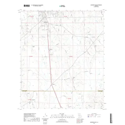
2018 Map of Jonesboro South
USGS Topo · Published 2018About this map
Jonesboro serves as the focal point of this northern Louisiana landscape, where the town grid is defined by streets like N Polk Ave and S Hudson Ave. The terrain transitions southward from the developed corridors of the town into the rural woodlands of Jackson and Winn Parishes. A network of creeks, including Antwine Cr, Dry Cr, and Big Cr, carves through the undulating topography, dictating the placement of early roads and homesteads. Local history is anchored by several burial grounds, such as Jonesboro Cem, Siloam Springs Cem, and the Gayla Traina Memorial Cem. Further south, the smaller communities of Wyatt and Gansville appear along the primary north-south transportation route, while the Jonesboro Airport sits to the west, marking the intersection of modern infrastructure and the traditional timberland landscape.
Find a feature on this map
100 named features on this map. Tap any name to fly to it.
Don’t see what you’re looking for? This feature index may not catch every label — zoom into the map to look around manually.
Map Details
Editions of this 2018 Jonesboro South Map
This is the sole edition of this map. No revisions or reprints were ever made.
Other maps of this area

1947 · Goldonna
USGS Topo · 1:62,500

1947 · Bienville
USGS Topo · 1:62,500

1949 · Bienville
USGS Topo · 1:62,500

1949 · Jonesboro
USGS Topo · 1:62,500

1950 · Jonesboro
USGS Topo · 1:62,500

1953 · Hodge
USGS Topo · 1:62,500

1955 · Shreveport
USGS Topo · 1:250,000

1956 · Shreveport
USGS Topo · 1:250,000

1957 · Goldonna
USGS Topo · 1:62,500

1984 · Shreveport
USGS Topo · 1:250,000