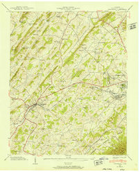
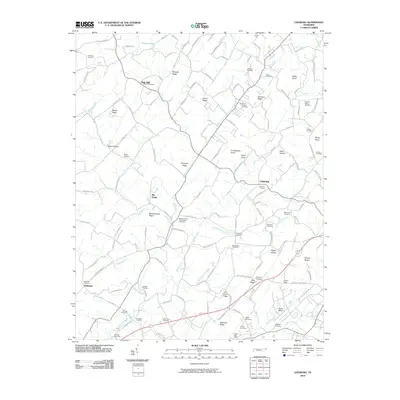
1939 Map of Jonesboro
USGS Topo · Published 1939About this map
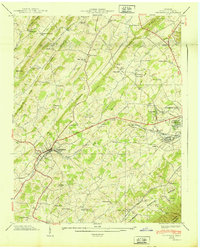
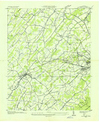
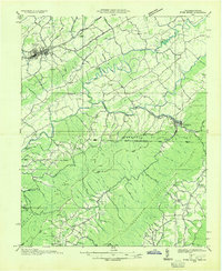
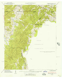
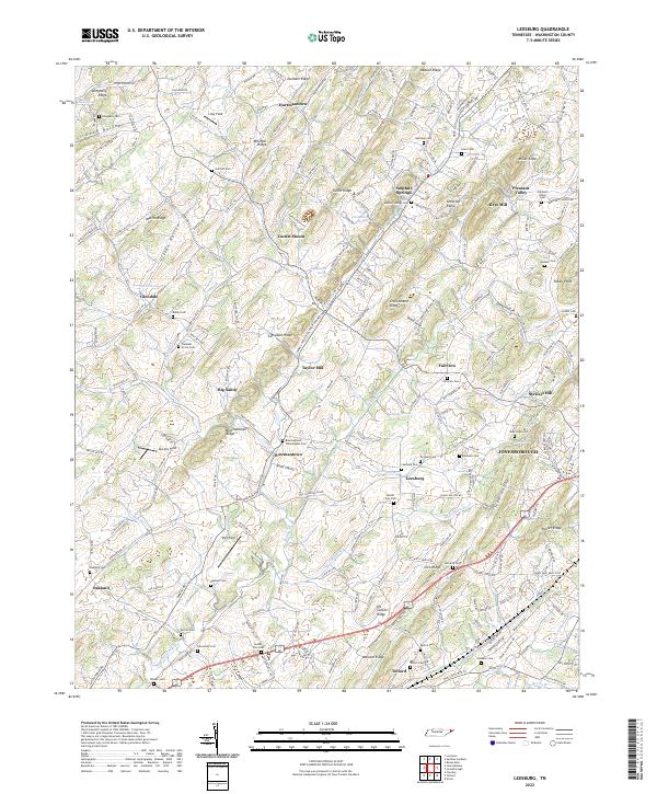
The town of Jonesboro serves as the focal point of this 1939 survey, situated where the Southern railroad meets the rolling terrain of Washington County. To the east, the sprawling grounds of the National Soldiers Home and the Veterans Adm Facility Mountain Home (P O) mark the growing footprint of Johnson City. The landscape is defined by a series of prominent ridges, including Buffalo Ridge and Chestnut Ridge, which dictated the early transportation routes such as the Clinchfield Highway.
Find a feature on this map
79 named features on this map. Tap any name to fly to it.
Don’t see what you’re looking for? This feature index may not catch every label — zoom into the map to look around manually.
Map Details
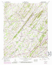
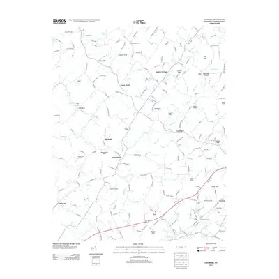
Editions of this 1939 Jonesboro Map
2 editions found
Historical Maps of Johnson City Through Time
15 maps found

1935 Beaver Creek
Washington County, TN

1935 Grayson
Washington County, TN
1935 Jonesboro
Washington County, TN

1935 Leesburg
Washington County, TN
1935 River Knobs
Washington County, TN
1938 Grayson
Washington County, TN
1939 Jonesboro
Washington County, TN
1939 Leesburg
Washington County, TN
1959 Grayson
Washington County, TN
2003 Grayson
Washington County, TN
2010 Leesburg
Washington County, TN
2013 Leesburg
Washington County, TN
2016 Leesburg
Washington County, TN
2019 Leesburg
Washington County, TN
2022 Leesburg
Washington County, TN