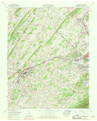
1959 Map of Jonesboro
USGS Topo · Published 1971About this map
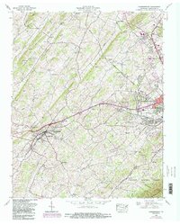
Jonesboro serves as a focal point in this survey of Washington County, illustrating the transition between the established county seat and the expanding western fringes of Johnson City. The landscape is defined by parallel ridges, including Buffalo Ridge and Persimmon Ridge, which dictate the paths of the Clinchfield and Southern railroads. A significant portion of the northeastern area is occupied by the Veterans Administration Center and Mountain Home (VA), reflecting the long-standing institutional footprint in the region.
Find a feature on this map
65 named features on this map. Tap any name to fly to it.
Don’t see what you’re looking for? This feature index may not catch every label — zoom into the map to look around manually.
Map Details
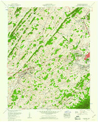
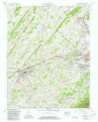
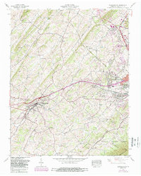
Editions of this 1959 Jonesboro Map
5 editions found
Other maps of this area

1891 · Roan Mountain
USGS Topo · 1:125,000

1892 · Greeneville
USGS Topo · 1:125,000

1894 · Roan Mountain
USGS Topo · 1:125,000

1896 · Greeneville
USGS Topo · 1:125,000

1904 · Roan Mountain
USGS Topo · 1:125,000

1904 · Greeneville
USGS Topo · 1:125,000

1935 · Sullivan Gardens
USGS Topo · 1:24,000

1935 · Leesburg
USGS Topo · 1:24,000

1935 · Erwin
USGS Topo · 1:24,000

1935 · Spurgeon
USGS Topo · 1:24,000