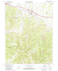
1973 Map of Jonesburg
USGS Topo · Published 1986About this map
Jonesburg and High Hill serve as the primary anchors for this region in the early 1970s, situated along the corridor established by the Norfolk and Western railroad. The landscape south of these settlements is defined by a dense network of hollows and ridges, including Pea Ridge and Kirby Ridge, where the topography dictated the placement of small clay extraction sites and scattered family cemeteries. The southern portion of the map highlights the preservation of the Missouri woodlands within the Daniel Boone Memorial State Forest.
Find a feature on this map
64 named features on this map. Tap any name to fly to it.
Don’t see what you’re looking for? This feature index may not catch every label — zoom into the map to look around manually.
Map Details
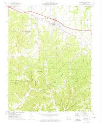
Editions of this 1973 Jonesburg Map
2 editions found
Other maps of this area

1890 · Hermann
USGS Topo · 1:125,000

1936 · Hermann
USGS Topo · 1:48,000

1942 · Hermann
USGS Topo · 1:62,500

1942 · New Florence
USGS Topo · 1:62,500

1943 · Warrenton
USGS Topo · 1:62,500

1945 · Hermann
USGS Topo · 1:62,500

1945 · Warrenton
USGS Topo · 1:62,500

1946 · New Florence
USGS Topo · 1:62,500

1948 · Washington
USGS Topo · 1:62,500

1949 · Saint Louis
USGS Topo · 1:250,000