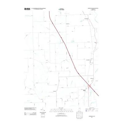
2013 Map of Jonesville
USGS Topo · Published 2013About this map
Jonesville and Waynesville anchor the eastern corridor of this Indiana landscape, where the E Fork White River and its intricate drainage network of Thompson Slough and E Fork White Cr shape the terrain. The map details a transition from established settlements to rural agricultural operations like the Corya Pork Farm. Small, named locales such as Rosstown, Bobtown, and Little Acre are scattered throughout, providing a clear picture of the community distribution and small-town infrastructure in the early 21st century. Significant water features including Thompsons Lake, Lake Barbara, and Peters Lake are prominent, while the physical elevation of Wrights Hill rises above the river basin. The map also captures specific local intersections and crossings such as Peters Switch, which reflects the area's historical connection to rail transport via Railroad St.
Find a feature on this map
83 named features on this map. Tap any name to fly to it.
Don’t see what you’re looking for? This feature index may not catch every label — zoom into the map to look around manually.
Map Details
Editions of this 2013 Jonesville Map
This is the sole edition of this map. No revisions or reprints were ever made.
Other maps of this area

1942 · Franklin
USGS Topo · 1:125,000

1942 · Columbus
USGS Topo · 1:125,000

1948 · New Bellsville
USGS Topo · 1:24,000

1948 · Waymansville
USGS Topo · 1:24,000

1953 · Cincinnati
USGS Topo · 1:250,000

1953 · Indianapolis
USGS Topo · 1:250,000

1956 · Indianapolis
USGS Topo · 1:250,000

1956 · Vincennes
USGS Topo · 1:250,000

1956 · Louisville
USGS Topo · 1:250,000

1957 · Indianapolis
USGS Topo · 1:250,000