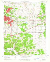
1963 Map of Joplin East
USGS Topo · Published 1964About this map
Joplin and its eastern industrial fringes are defined here by a landscape heavily shaped by mining and transportation. Massive areas marked as Tailings and Tailings Ponds dominate the geography between Webb City and Duenweg, evidence of the region's lead and zinc mining legacy. This extractive activity is set against a dense infrastructure of the St Louis-San Francisco, Missouri Pacific, and Kansas City Southern railroads that once served these operations.
Find a feature on this map
50 named features on this map. Tap any name to fly to it.
Don’t see what you’re looking for? This feature index may not catch every label — zoom into the map to look around manually.
Map Details
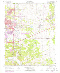
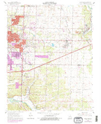
Editions of this 1963 Joplin East Map
3 editions found
Other maps of this area

1886 · Joplin
USGS Topo · 1:125,000

1886 · Carthage
USGS Topo · 1:125,000

1894 · Joplin
USGS Topo · 1:125,000

1894 · Carthage
USGS Topo · 1:125,000

1907 · Wyandotte
USGS Topo · 1:125,000

1909 · Wyandotte
USGS Topo · 1:125,000

1916 · Neosho
USGS Topo · 1:62,500

1947 · Joplin
USGS Topo · 1:250,000

1949 · Joplin
USGS Topo · 1:250,000

1949 · Racine
USGS Topo · 1:24,000