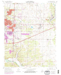
1963 Map of Joplin East
USGS Topo · Published 1979About this map
The industrial legacy of southwest Missouri's lead and zinc mining district is clearly visible across this landscape, where extensive areas of tailings and numerous quarries surround the expanding eastern edge of Joplin. The map documents the post-war suburban growth into areas like Duquesne and Duenweg, while maintaining a dense network of older infrastructure including the Kansas City Southern and St Louis San Francisco railroads.
Find a feature on this map
49 named features on this map. Tap any name to fly to it.
Don’t see what you’re looking for? This feature index may not catch every label — zoom into the map to look around manually.
Map Details
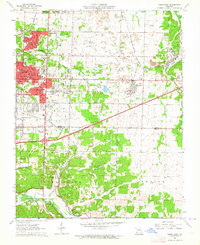
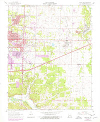
Editions of this 1963 Joplin East Map
3 editions found
Other maps of this area

1886 · Joplin
USGS Topo · 1:125,000

1886 · Carthage
USGS Topo · 1:125,000

1894 · Joplin
USGS Topo · 1:125,000

1894 · Carthage
USGS Topo · 1:125,000

1907 · Wyandotte
USGS Topo · 1:125,000

1909 · Wyandotte
USGS Topo · 1:125,000

1916 · Neosho
USGS Topo · 1:62,500

1947 · Joplin
USGS Topo · 1:250,000

1949 · Joplin
USGS Topo · 1:250,000

1949 · Racine
USGS Topo · 1:24,000