
1947 Map of Joplin
USGS Topo · Published 1954About this map
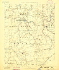
The Tri-State Mining District dominates the eastern half of this mid-century survey, illustrating a landscape defined by the extraction of lead and zinc. Centered on the border of Kansas, Missouri, and Oklahoma, industrial features like Strip mines and a dense network of railroads including the Joplin-Pittsburg RR and St Louis-San Francisco RR connect the major hubs of Joplin and Pittsburg. To the south, the sprawling military footprint of Camp Crowder is visible near Neosho, while the George Washington Carver Nat Mon appears as a key cultural landmark.
Find a feature on this map
251 named features on this map. Tap any name to fly to it.
Don’t see what you’re looking for? This feature index may not catch every label — zoom into the map to look around manually.
Map Details
Editions of this 1947 Joplin Map
This is the sole edition of this map. No revisions or reprints were ever made.
Other maps of this area
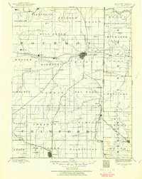
1884 · Fort Scott
USGS Topo · 1:125,000
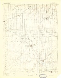
1885 · Burlington
USGS Topo · 1:125,000
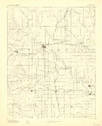
1885 · Eureka
USGS Topo · 1:125,000
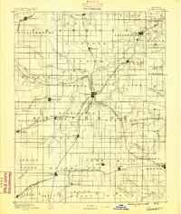
1885 · Garnett
USGS Topo · 1:125,000
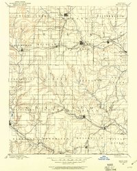
1885 · Sedan
USGS Topo · 1:125,000
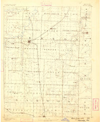
1886 · Nevada
USGS Topo · 1:125,000
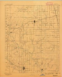
1886 · Fredonia
USGS Topo · 1:125,000

1886 · Joplin
USGS Topo · 1:125,000
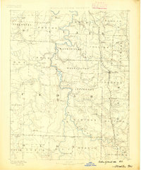
1886 · Stockton
USGS Topo · 1:125,000
1886 · Greenfield
USGS Topo · 1:125,000