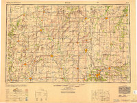
1949 Map of Joplin
USGS Topo · Published 1949About this map
Chanute and Iola serve as central hubs in this postwar survey of the southeastern Kansas and western Missouri borderlands. The landscape is defined by the drainage basins of the Neosho River and Verdigris River, which support a dense network of farming communities and railroad connections. Established towns like Fort Scott and Humboldt anchor the region, while smaller settlements such as Yates Center and Quincy mark the transitions across the plains.
Find a feature on this map
248 named features on this map. Tap any name to fly to it.
Don’t see what you’re looking for? This feature index may not catch every label — zoom into the map to look around manually.
Map Details
Editions of this 1949 Joplin Map
This is the sole edition of this map. No revisions or reprints were ever made.
Other maps of this area
1884 · Fort Scott
USGS Topo · 1:125,000
1885 · Burlington
USGS Topo · 1:125,000
1885 · Eureka
USGS Topo · 1:125,000
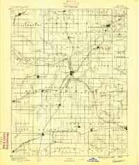
1885 · Garnett
USGS Topo · 1:125,000
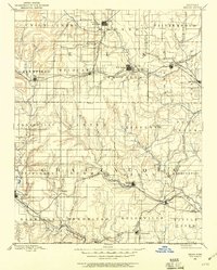
1885 · Sedan
USGS Topo · 1:125,000
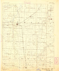
1886 · Nevada
USGS Topo · 1:125,000
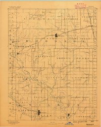
1886 · Fredonia
USGS Topo · 1:125,000

1886 · Joplin
USGS Topo · 1:125,000
1886 · Stockton
USGS Topo · 1:125,000
1886 · Greenfield
USGS Topo · 1:125,000