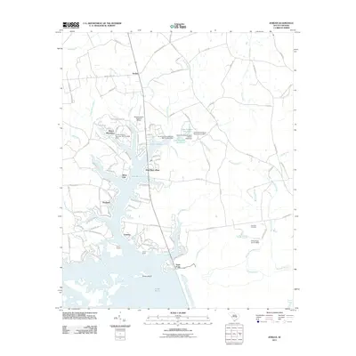
2011 Map of Jordan
USGS Topo · Published 2011About this map
Lake Marion and its intricate shoreline dominate this part of Clarendon County, where the sprawling water meets the winding course of the Santee River. The landscape is a mosaic of low-lying swamps and organized settlements, ranging from the historic character of Jordan in the north to the residential patterns of Wyboo Plantation and Shad Moss Village along the lake's edge. This 2011 survey highlights a region shaped by both natural drainage systems like Three Hole Swamp and Dean Swamp, and modern aviation infrastructure at the Santee Cooper Regional Airport.
Find a feature on this map
101 named features on this map. Tap any name to fly to it.
Don’t see what you’re looking for? This feature index may not catch every label — zoom into the map to look around manually.
Map Details
Editions of this 2011 Jordan Map
This is the sole edition of this map. No revisions or reprints were ever made.
Other maps of this area

1920 · Eutawville
USGS Topo · 1:48,000

1920 · Chicora
USGS Topo · 1:48,000

1920 · Manning
USGS Topo · 1:48,000

1921 · Chicora
USGS Topo · 1:62,500

1921 · Manning
USGS Topo · 1:62,500

1921 · Eutawville
USGS Topo · 1:62,500

1943 · Chicora
USGS Topo · 1:62,500

1943 · Eutawville
USGS Topo · 1:62,500

1944 · Manning
USGS Topo · 1:62,500

1954 · Augusta
USGS Topo · 1:250,000