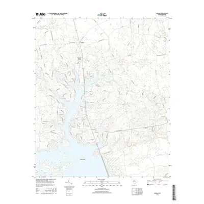
2017 Map of Jordan
USGS Topo · Published 2017About this map
Lake Marion dominates the southern landscape of this Clarendon County region, where the Santee River floodplain has been transformed into a complex network of coves and islands. The settlement of Jordan serves as a central point for the surrounding rural area, which is defined by a heavy hydrological fingerprint of named branches, creeks, and swamps. Large water bodies like Lees Number Two Pond and Bees Number One Pond suggest a history of managed water for local industry or agriculture, while the presence of Green Island and Tranquility Cove highlights the recreational and residential shift of the modern shoreline.
Find a feature on this map
122 named features on this map. Tap any name to fly to it.
Don’t see what you’re looking for? This feature index may not catch every label — zoom into the map to look around manually.
Map Details
Editions of this 2017 Jordan Map
This is the sole edition of this map. No revisions or reprints were ever made.
Other maps of this area

1920 · Eutawville
USGS Topo · 1:48,000

1920 · Chicora
USGS Topo · 1:48,000

1920 · Manning
USGS Topo · 1:48,000

1921 · Chicora
USGS Topo · 1:62,500

1921 · Manning
USGS Topo · 1:62,500

1921 · Eutawville
USGS Topo · 1:62,500

1943 · Chicora
USGS Topo · 1:62,500

1943 · Eutawville
USGS Topo · 1:62,500

1944 · Manning
USGS Topo · 1:62,500

1954 · Augusta
USGS Topo · 1:250,000