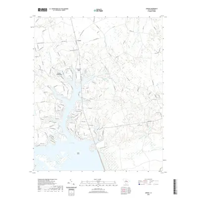
2020 Map of Jordan
USGS Topo · Published 2020About this map
The northern reaches of Lake Marion define this South Carolina landscape, where the labyrinthine wetlands of the Santee River system meet modern development. The community of Jordan serves as a central point for the surrounding rural area, which is characterized by a dense network of watercourses including Wyboo Swamp, Three Hole Swamp, and Buckhead Br. Near the water, Wyboo Plantation and developments like Tranquility Cove indicate the transition of this area into a recreational and residential hub. The intricate shoreline is marked by features such as Carroll Slough and Grimes Cr, while Green Island sits just offshore in the expansive lake waters.
Find a feature on this map
141 named features on this map. Tap any name to fly to it.
Don’t see what you’re looking for? This feature index may not catch every label — zoom into the map to look around manually.
Map Details
Editions of this 2020 Jordan Map
This is the sole edition of this map. No revisions or reprints were ever made.
Other maps of this area

1920 · Eutawville
USGS Topo · 1:48,000

1920 · Chicora
USGS Topo · 1:48,000

1920 · Manning
USGS Topo · 1:48,000

1921 · Chicora
USGS Topo · 1:62,500

1921 · Manning
USGS Topo · 1:62,500

1921 · Eutawville
USGS Topo · 1:62,500

1943 · Chicora
USGS Topo · 1:62,500

1943 · Eutawville
USGS Topo · 1:62,500

1944 · Manning
USGS Topo · 1:62,500

1954 · Augusta
USGS Topo · 1:250,000