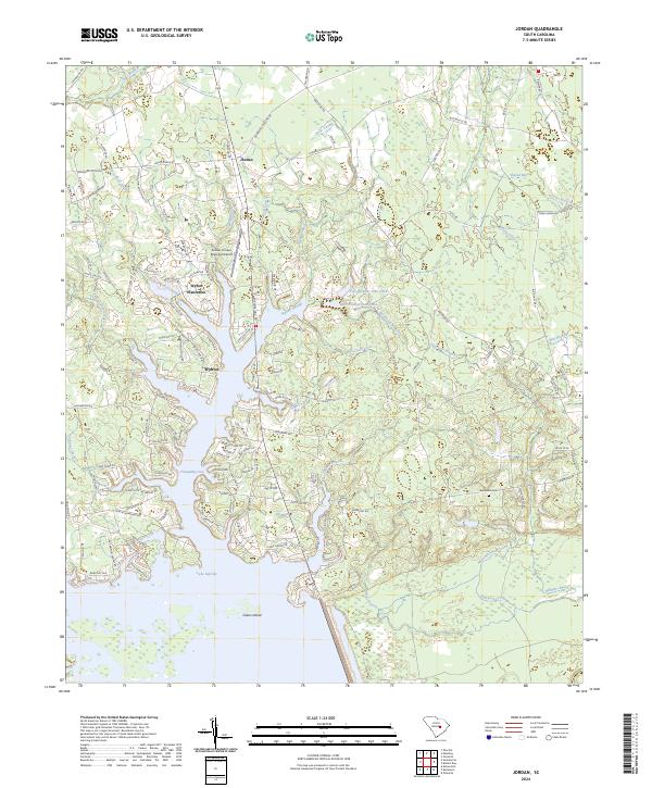
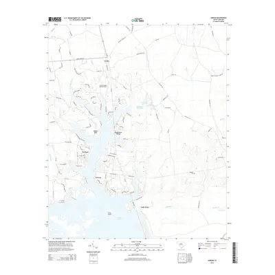
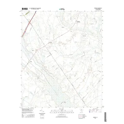
2024 Map of Jordan
USGS Topo · Published 2024About this map
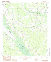
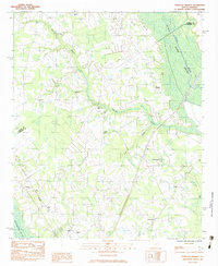
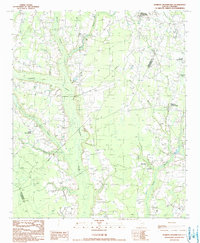
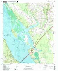
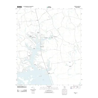
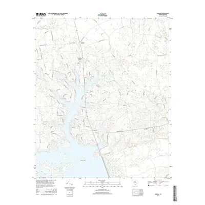
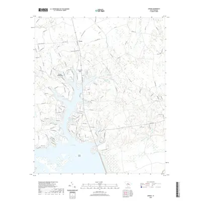
Lake Marion dominates the southern landscape of this Clarendon County region, where the expansive waters meet a complex network of inlets and swampy tributaries. The modern geography of the area is defined by the contrast between residential and recreational growth at Wyboo Plantation and the preserved wetlands of the Santee National Wildlife Refuge. The settlement of Jordan sits inland, connected by a web of rural routes like Telegraph Rd and Raccoon Rd that traverse the low-lying terrain.
Find a feature on this map
138 named features on this map. Tap any name to fly to it.
Don’t see what you’re looking for? This feature index may not catch every label — zoom into the map to look around manually.
Map Details
Editions of this 2024 Jordan Map
This is the sole edition of this map. No revisions or reprints were ever made.
Historical Maps of White Oak Through Time
37 maps found
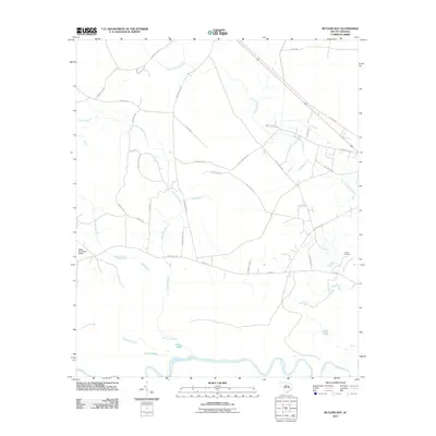
1979 Butlers Bay
Clarendon County, SC
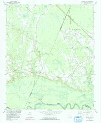
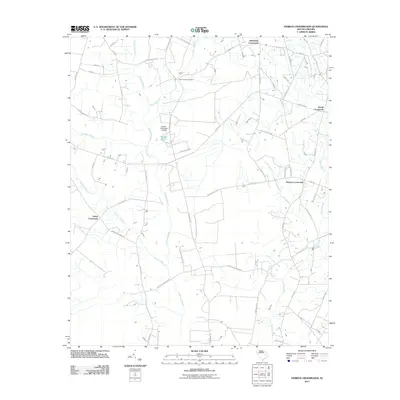
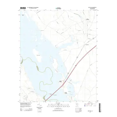
1980 Jordan
Clarendon County, SC
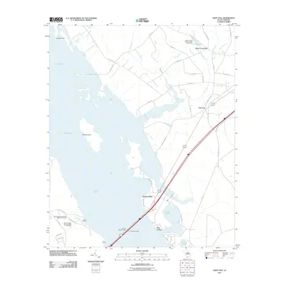
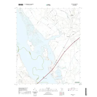
1980 Saint Paul
Clarendon County, SC
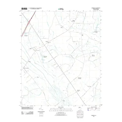
1983 Sardinia
Clarendon County, SC
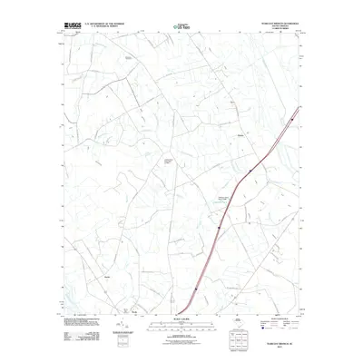
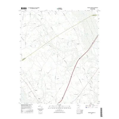
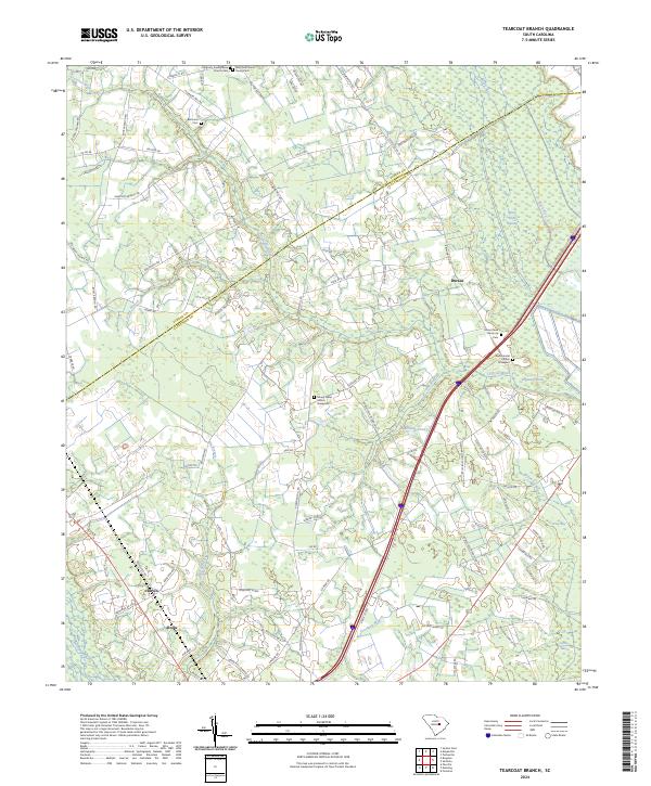
1983 Tearcoat Branch
Clarendon County, SC
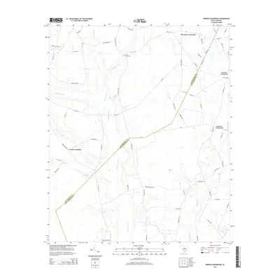
1990 Hebron Crossroads
Clarendon County, SC
1994 Saint Paul
Clarendon County, SC
2011 Butlers Bay
Clarendon County, SC
2011 Hebron Crossroads
Clarendon County, SC
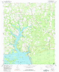
2011 Jordan
Clarendon County, SC
2011 Saint Paul
Clarendon County, SC
2011 Sardinia
Clarendon County, SC
2011 Tearcoat Branch
Clarendon County, SC
2014 Butlers Bay
Clarendon County, SC
2014 Hebron Crossroads
Clarendon County, SC
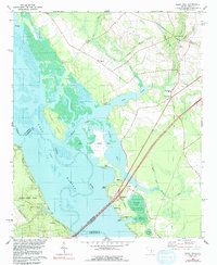
2014 Jordan
Clarendon County, SC
2014 Saint Paul
Clarendon County, SC
2014 Sardinia
Clarendon County, SC
2014 Tearcoat Branch
Clarendon County, SC
2017 Butlers Bay
Clarendon County, SC
2017 Hebron Crossroads
Clarendon County, SC
2017 Jordan
Clarendon County, SC
2017 Saint Paul
Clarendon County, SC
2017 Sardinia
Clarendon County, SC
2017 Tearcoat Branch
Clarendon County, SC
2020 Butlers Bay
Clarendon County, SC
2020 Hebron Crossroads
Clarendon County, SC
2020 Jordan
Clarendon County, SC
2020 Saint Paul
Clarendon County, SC
2020 Sardinia
Clarendon County, SC
2020 Tearcoat Branch
Clarendon County, SC
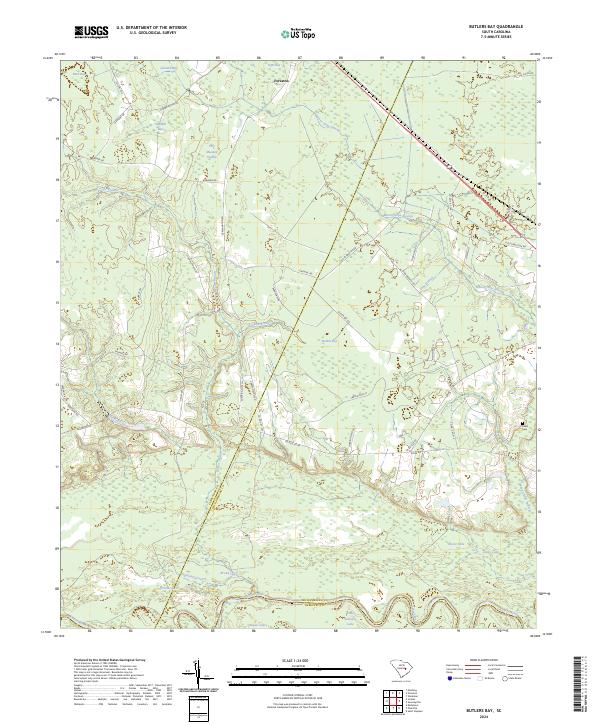
2024 Butlers Bay
Clarendon County, SC
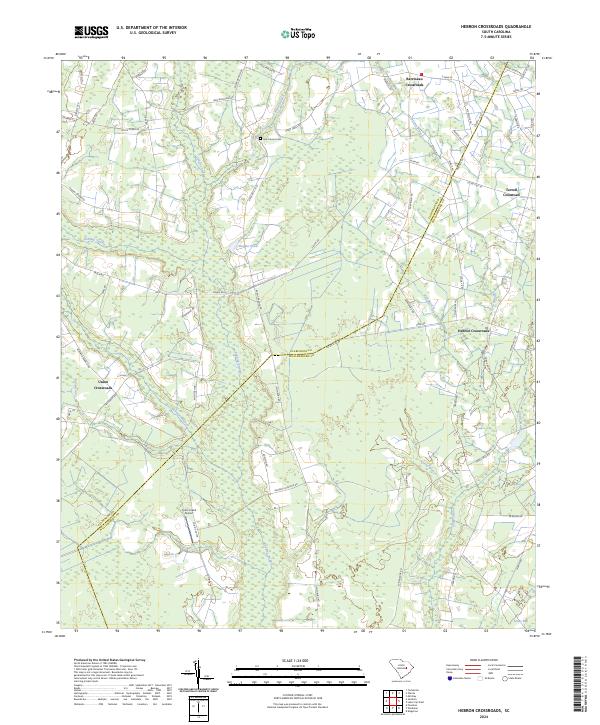
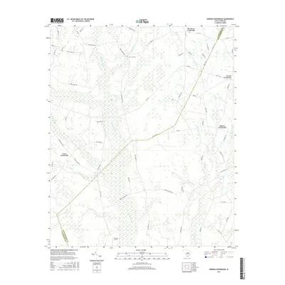
2024 Hebron Crossroads
Clarendon County, SC
2024 Jordan
Clarendon County, SC
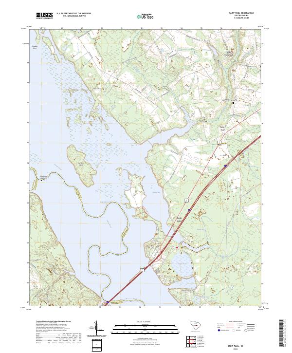
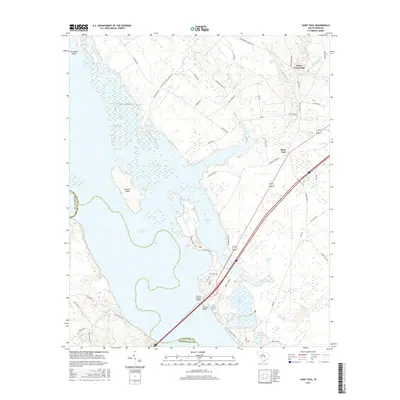
2024 Saint Paul
Clarendon County, SC
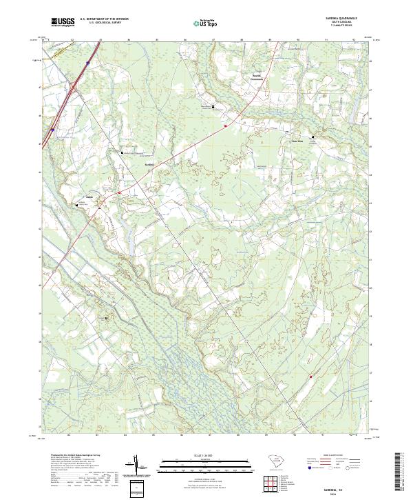
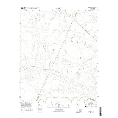
2024 Sardinia
Clarendon County, SC
2024 Tearcoat Branch
Clarendon County, SC