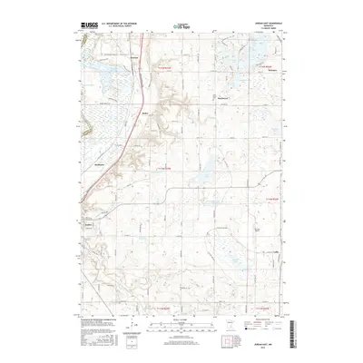
2016 Map of Jordan East
USGS Topo · Published 2016About this map
Louisville Swamp and the surrounding Minnesota Valley Bluff define the northwestern corner of this territory, where the Minnesota River valley transitions into a landscape of wetlands and lakes. The area is dotted with historic hamlets and gathering points, including the village of Merriam, the crossroads at Baden, and the community of Marystown centered near Saint Mary's Cem. Transportation routes such as Johnson Memorial Dr connect these small settlements to the larger hub of Jordan.
Find a feature on this map
95 named features on this map. Tap any name to fly to it.
Don’t see what you’re looking for? This feature index may not catch every label — zoom into the map to look around manually.
Map Details
Editions of this 2016 Jordan East Map
This is the sole edition of this map. No revisions or reprints were ever made.
Other maps of this area

1896 · Minneapolis
USGS Topo · 1:62,500

1901 · Minneapolis
USGS Topo · 1:62,500

1905 · Minnetonka
USGS Topo · 1:62,500

1907 · Minnetonka
USGS Topo · 1:62,500

1953 · Saint Paul
USGS Topo · 1:250,000

1954 · Eden Prairie
USGS Topo · 1:24,000

1954 · Minneapolis
USGS Topo · 1:62,500

1957 · Prior Lake
USGS Topo · 1:62,500

1957 · New Prague
USGS Topo · 1:62,500

1958 · Victoria
USGS Topo · 1:24,000