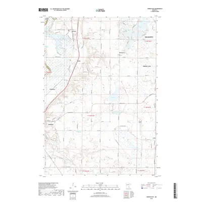
2019 Map of Jordan East
USGS Topo · Published 2019About this map
Louisville Swamp and the surrounding wetland complex dominate the northwestern reaches of this Scott County landscape, where the Mazomani Trail and Little Prairie Loop Trail thread through the lowlands near Merriam. The area is characterized by a high density of small water bodies, including Thole Lake, O'Dowd Lake, and Geis Lake, interspersed with established rural communities and small settlements. The map illustrates a developed road network connecting Marystown, Mudbaden, and Lydia to the larger centers of Shakopee and Prior Lake. Religious and local history is anchored at Saint Mary's Cem and Calvary Cem, while modern infrastructure is represented by the Sky Park Airport near the border of Jordan. This survey provides a clear view of the transition from marshy river bottoms to the residential and agricultural uplands south of the Minnesota River valley.
Find a feature on this map
62 named features on this map. Tap any name to fly to it.
Don’t see what you’re looking for? This feature index may not catch every label — zoom into the map to look around manually.
Map Details
Editions of this 2019 Jordan East Map
This is the sole edition of this map. No revisions or reprints were ever made.
Other maps of this area

1896 · Minneapolis
USGS Topo · 1:62,500

1901 · Minneapolis
USGS Topo · 1:62,500

1905 · Minnetonka
USGS Topo · 1:62,500

1907 · Minnetonka
USGS Topo · 1:62,500

1953 · Saint Paul
USGS Topo · 1:250,000

1954 · Eden Prairie
USGS Topo · 1:24,000

1954 · Minneapolis
USGS Topo · 1:62,500

1957 · Prior Lake
USGS Topo · 1:62,500

1957 · New Prague
USGS Topo · 1:62,500

1958 · Victoria
USGS Topo · 1:24,000