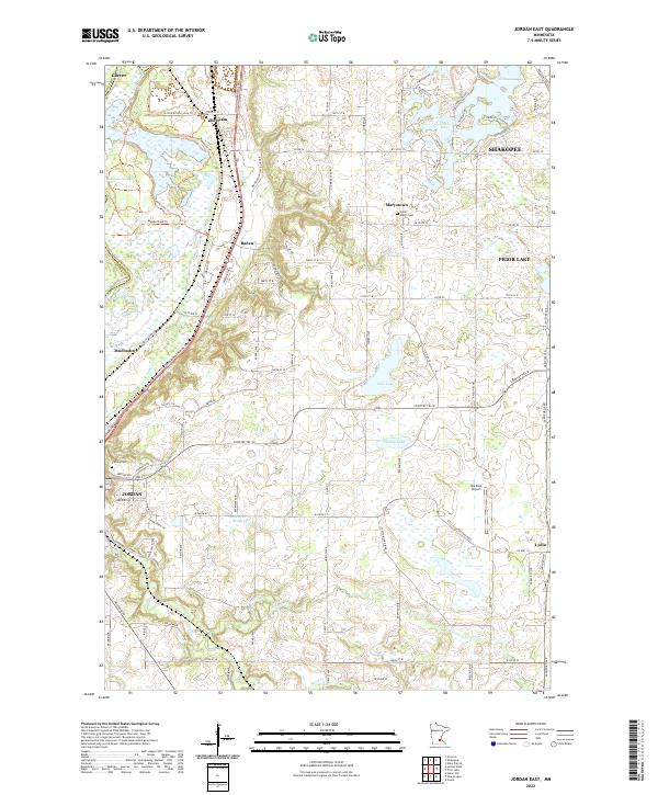
2022 Map of Jordan East
USGS Topo · Published 2022About this map
Jordan and the surrounding Scott County countryside are defined by a network of small lakes and agricultural settlements. The landscape transitions from the wetlands of Johnson Slough in the northwest to the varied glacial depressions that form Thole Lake, O'Dowd Lake, and the whimsically named Diddle De Woddle Lake. This area was historically shaped by the convergence of early transportation routes, including the Johnson Memorial Dr corridor, which connects several smaller hamlets.
Find a feature on this map
104 named features on this map. Tap any name to fly to it.
Don’t see what you’re looking for? This feature index may not catch every label — zoom into the map to look around manually.
Map Details
Editions of this 2022 Jordan East Map
This is the sole edition of this map. No revisions or reprints were ever made.
Historical Maps of Mudbaden Through Time
10 maps found
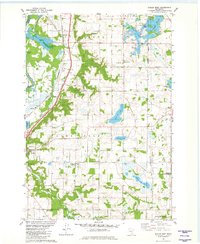
1974 New Market
Scott County, MN
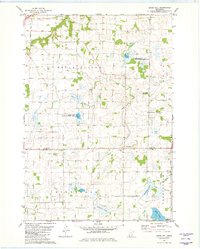
1974 Veseli
Scott County, MN
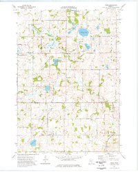
1981 Belle Plaine South
Scott County, MN
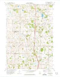
1981 Jordan East
Scott County, MN
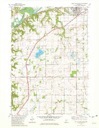
1981 Union Hill
Scott County, MN
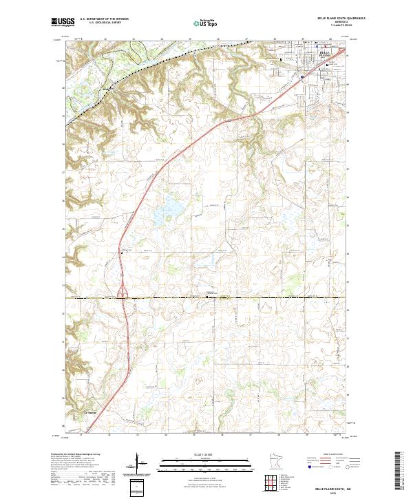
2022 Belle Plaine South
Scott County, MN
2022 Jordan East
Scott County, MN
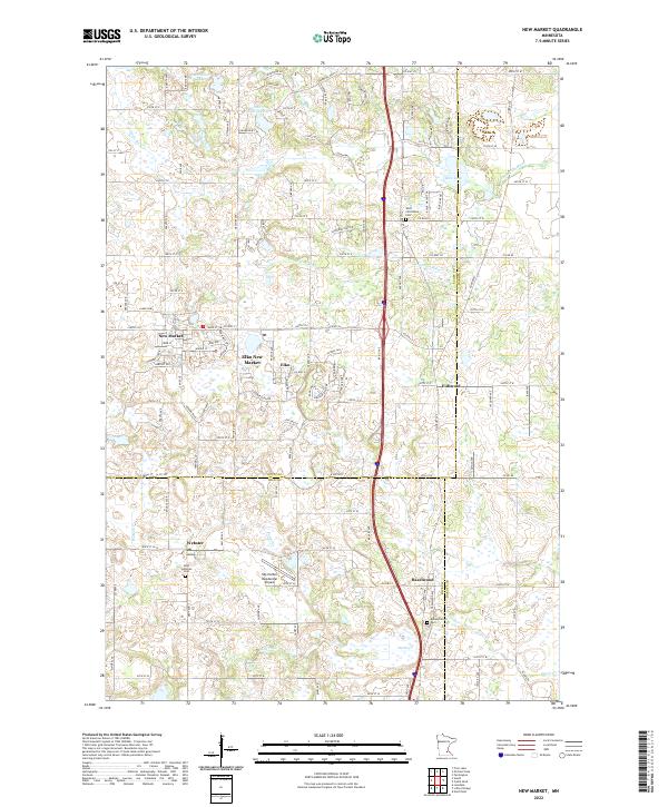
2022 New Market
Scott County, MN
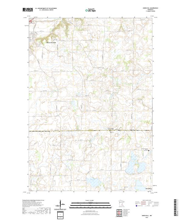
2022 Union Hill
Scott County, MN
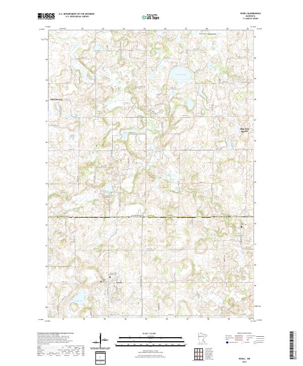
2022 Veseli
Scott County, MN