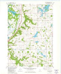
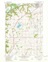
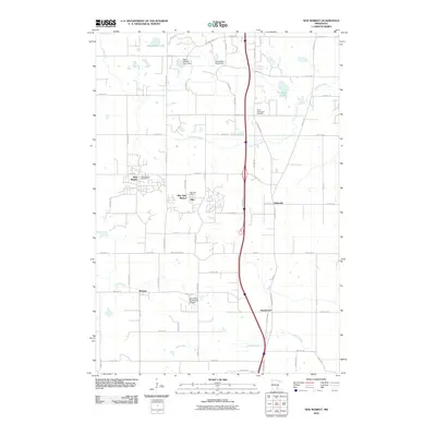
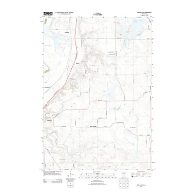
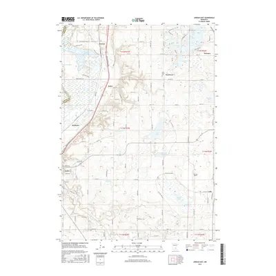
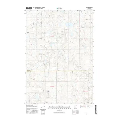
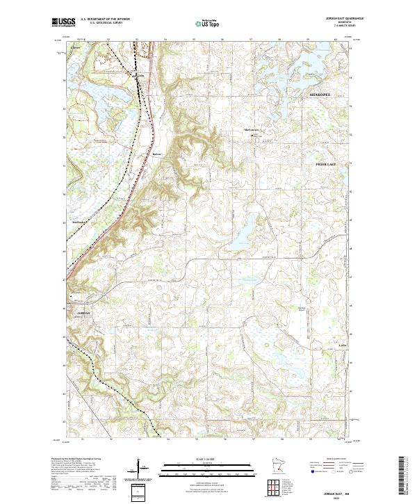
1981 Map of Jordan East
USGS Topo · Published 1982About this map
Sand Creek meanders through the central lowlands of Scott County, anchoring a landscape defined by glacial lakes and early agricultural settlements. The rural character of the early 1980s is evident in the cluster of small communities such as Marystown, Baden, and St Josephs, while the city of Jordan serves as a primary hub. Transportation and utility infrastructure are prominent, with the Chicago and North Western railroad corridor and various pipelines traversing the terrain.
Find a feature on this map
42 named features on this map. Tap any name to fly to it.
Don’t see what you’re looking for? This feature index may not catch every label — zoom into the map to look around manually.
Map Details
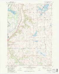
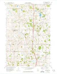
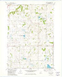
Editions of this 1981 Jordan East Map
2 editions found
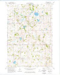
Historical Maps of Shakopee Through Time
30 maps found
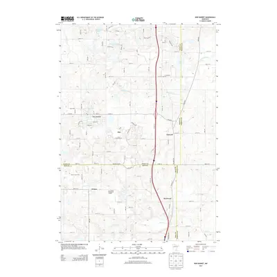
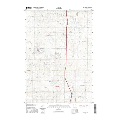
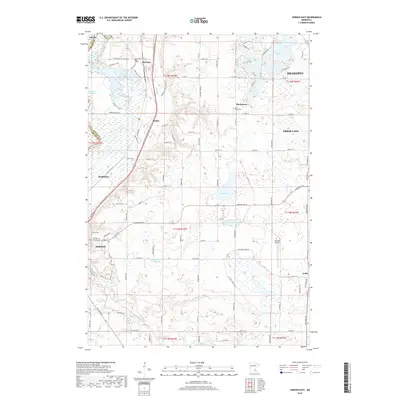
1974 New Market
Scott County, MN
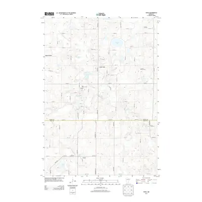
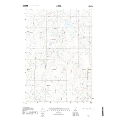
1974 Veseli
Scott County, MN
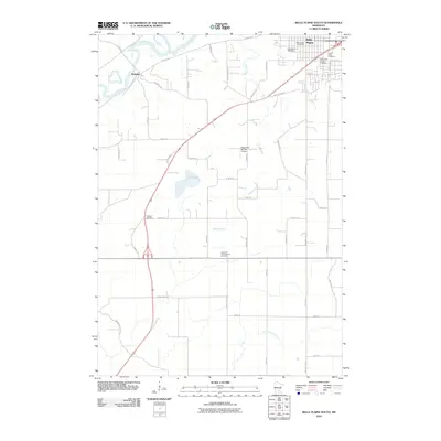
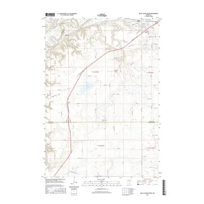
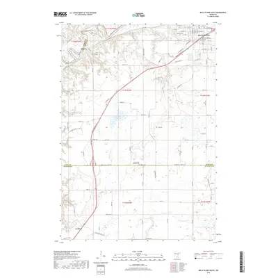
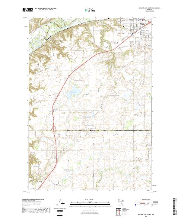
1981 Belle Plaine South
Scott County, MN
1981 Jordan East
Scott County, MN
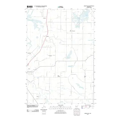
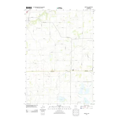
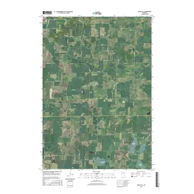
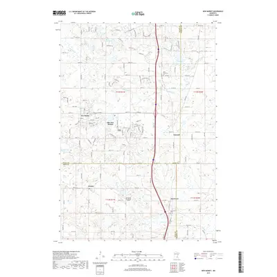
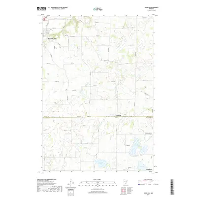
1981 Union Hill
Scott County, MN
2010 Belle Plaine South
Scott County, MN
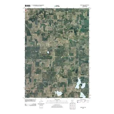
2010 Jordan East
Scott County, MN
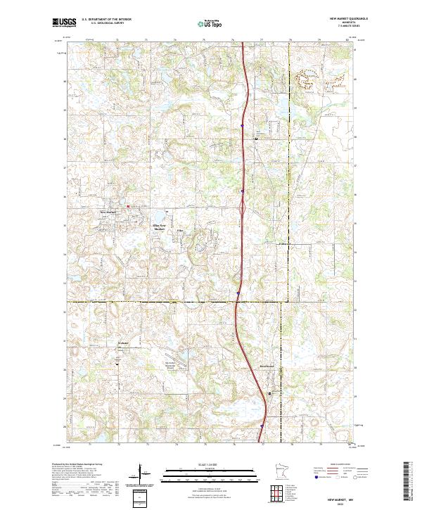
2010 New Market
Scott County, MN
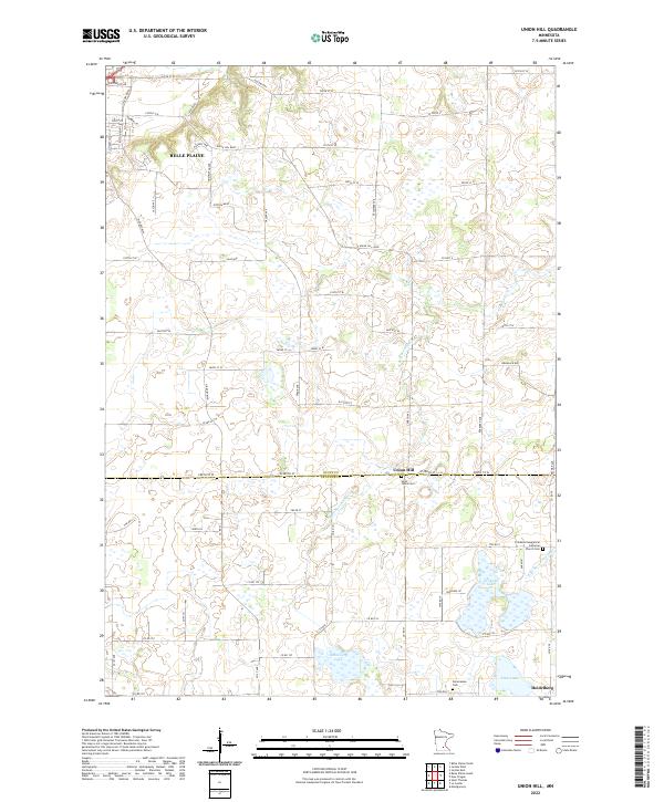
2010 Union Hill
Scott County, MN
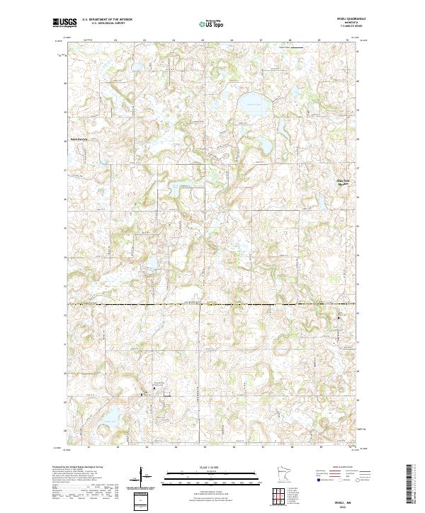
2010 Veseli
Scott County, MN
2013 Belle Plaine South
Scott County, MN
2013 Jordan East
Scott County, MN
2013 New Market
Scott County, MN
2013 Union Hill
Scott County, MN
2013 Veseli
Scott County, MN
2016 Belle Plaine South
Scott County, MN
2016 Jordan East
Scott County, MN
2016 New Market
Scott County, MN
2016 Union Hill
Scott County, MN
2016 Veseli
Scott County, MN
2019 Belle Plaine South
Scott County, MN
2019 Jordan East
Scott County, MN
2019 New Market
Scott County, MN
2019 Union Hill
Scott County, MN
2019 Veseli
Scott County, MN
2022 Belle Plaine South
Scott County, MN
2022 Jordan East
Scott County, MN
2022 New Market
Scott County, MN
2022 Union Hill
Scott County, MN
2022 Veseli
Scott County, MN