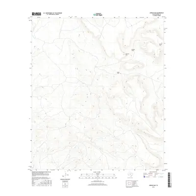
2016 Map of Jordan Gap
USGS Topo · Published 2016About this map
Jordan Gap sits as a central topographic passage in this high-elevation landscape within Presidio County. The terrain is defined by massive flat-topped features including Antelope Mesa and Gemelo Mesa, which tower over the surrounding drainage basins. This 2016 survey illustrates the significant vertical relief of the Trans-Pecos region, where Alamito Cr winds through the lower elevations to the northwest. The deep depression of Paradise Valley creates a distinct natural corridor between these elevated landforms. For researchers of West Texas geography, the map provides a precise look at the drainage patterns and land contours that dictate movement through this sparsely populated environment, highlighting how the natural gaps and mesas have shaped regional access and land use.
Find a feature on this map
5 named features on this map. Tap any name to fly to it.
Don’t see what you’re looking for? This feature index may not catch every label — zoom into the map to look around manually.
Map Details
Editions of this 2016 Jordan Gap Map
This is the sole edition of this map. No revisions or reprints were ever made.
Other maps of this area

1895 · Marfa
USGS Topo · 1:125,000

1895 · Alpine
USGS Topo · 1:125,000

1896 · Shafter
USGS Topo · 1:125,000

1918 · Jordan Gap
USGS Topo · 1:62,500

1930 · Jordan Gap
USGS Topo · 1:62,500

1954 · Fort Stockton
USGS Topo · 1:250,000

1958 · Fort Stockton
USGS Topo · 1:250,000

1959 · Emory Peak
USGS Topo · 1:250,000

1959 · Presidio
USGS Topo · 1:250,000

1959 · Marfa
USGS Topo · 1:250,000