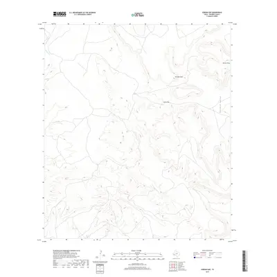
2019 Map of Jordan Gap
USGS Topo · Published 2019About this map
Jordan Gap serves as a prominent natural passage through the high-desert terrain of Presidio County, marking a distinct break in the elevated landforms that dominate this West Texas landscape. The high-elevation plateaus of Antelope Mesa and Gemelo Mesa define the northern portion of the quadrangle, with the latter bordering the eastern edge near Paradise Valley. Drainage for this arid environment is provided by Alamito Cr in the northwest corner, where the creek cuts through the contours of the high plains. The map reflects a landscape defined by sharp elevation changes and natural landforms rather than human-made infrastructure, showing the persistence of traditional cattle country and high-desert open space in the 21st century.
Find a feature on this map
5 named features on this map. Tap any name to fly to it.
Don’t see what you’re looking for? This feature index may not catch every label — zoom into the map to look around manually.
Map Details
Editions of this 2019 Jordan Gap Map
This is the sole edition of this map. No revisions or reprints were ever made.
Other maps of this area

1895 · Marfa
USGS Topo · 1:125,000

1895 · Alpine
USGS Topo · 1:125,000

1896 · Shafter
USGS Topo · 1:125,000

1918 · Jordan Gap
USGS Topo · 1:62,500

1930 · Jordan Gap
USGS Topo · 1:62,500

1954 · Fort Stockton
USGS Topo · 1:250,000

1958 · Fort Stockton
USGS Topo · 1:250,000

1959 · Emory Peak
USGS Topo · 1:250,000

1959 · Presidio
USGS Topo · 1:250,000

1959 · Marfa
USGS Topo · 1:250,000