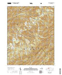
2019 Map of Jordan Mines
USGS Topo · Published 2019About this map
Jordan Mines sits at the heart of this rugged landscape where the borders of Alleghany, Craig, and Botetourt counties meet. The area is defined by the winding course of Potts Creek and the surrounding peaks of the Rich Patch Mountains and Peters Mountain. Historical industrial and agricultural patterns are evident in the placement of small communities like Boiling Spring, Clifdale, and the tellingly named Lignite. The presence of Moores Bottom and Bowyer Flat suggests pockets of relatively level land utilized amidst the steep terrain. Extensive public lands from the George Washington National Forest and Jefferson National Forest cover much of the topography, which is etched with numerous hollows and ridges such as Hickory Hill Hollow and Cowbone Ridge. Hikers and local historians can trace paths like the Pond Flat Trail and the Childrens Forest Trail through these protected woods.
Find a feature on this map
76 named features on this map. Tap any name to fly to it.
Don’t see what you’re looking for? This feature index may not catch every label — zoom into the map to look around manually.
Map Details
Editions of this 2019 Jordan Mines Map
This is the sole edition of this map. No revisions or reprints were ever made.
Other maps of this area

1887 · Lewisburg
USGS Topo · 1:125,000

1891 · Lewisburg
USGS Topo · 1:125,000

1894 · Natural Bridge
USGS Topo · 1:125,000

1913 · Eagle Rock
USGS Topo · 1:48,000

1915 · Eagle Rock
USGS Topo · 1:62,500

1921 · Callaghan
USGS Topo · 1:48,000

1923 · Callaghan
USGS Topo · 1:62,500

1945 · Clifton Forge
USGS Topo · 1:62,500
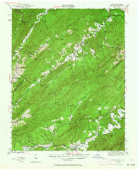
1945 · New Castle
USGS Topo · 1:62,500
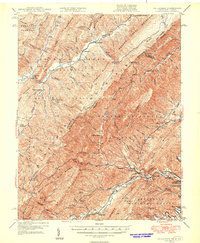
1946 · Callaghan
USGS Topo · 1:62,500