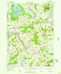
1955 Map of Jordan
USGS Topo · Published 1957About this map
The Seneca River and the Erie Canal define the northern corridor of this mid-1950s landscape, where industrial infrastructure meets rural settlement. In the village of Jordan, the old canal route and the New York Central Railroad run parallel, illustrating the historical evolution of New York's primary transport arteries. Further south, Skaneateles Junction serves as a critical local point of interest for genealogists, recording the dual identity of the Hart Lot Post Office within the rail network.
Find a feature on this map
97 named features on this map. Tap any name to fly to it.
Don’t see what you’re looking for? This feature index may not catch every label — zoom into the map to look around manually.
Map Details
Editions of this 1955 Jordan Map
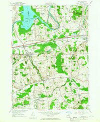
2 editions found
Other maps of this area

1899 · Auburn
USGS Topo · 1:62,500

1899 · Skaneateles
USGS Topo · 1:62,500

1900 · Baldwinsville
USGS Topo · 1:62,500

1902 · Skaneateles
USGS Topo · 1:62,500

1902 · Weedsport
USGS Topo · 1:62,500

1902 · Auburn
USGS Topo · 1:62,500

1943 · Jordan
USGS Topo · 1:31,680

1943 · Lysander
USGS Topo · 1:31,680

1943 · Cato
USGS Topo · 1:31,680

1943 · Weedsport
USGS Topo · 1:31,680