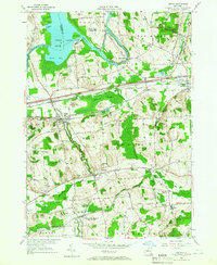
1955 Map of Jordan
USGS Topo · Published 1966About this map
The Seneca River winds through the northern reaches of this mid-century landscape, framing Cross Lake and its distinctive features like Big Island and Pembertons Point. This survey captures a moment of significant infrastructure, where the modern New York State Thruway cuts through the center of the quadrangle, paralleling the historic path of the Erie Canal and the New York Central Railroad. The transportation corridor links established village centers such as Jordan and Elbridge with smaller locales like Memphis and Jacks Reef.
Find a feature on this map
55 named features on this map. Tap any name to fly to it.
Don’t see what you’re looking for? This feature index may not catch every label — zoom into the map to look around manually.
Map Details
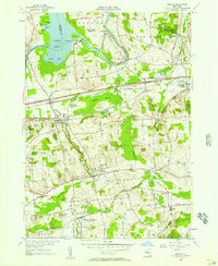
Editions of this 1955 Jordan Map
2 editions found
Other maps of this area

1899 · Auburn
USGS Topo · 1:62,500

1899 · Skaneateles
USGS Topo · 1:62,500

1900 · Baldwinsville
USGS Topo · 1:62,500

1902 · Skaneateles
USGS Topo · 1:62,500

1902 · Weedsport
USGS Topo · 1:62,500

1902 · Auburn
USGS Topo · 1:62,500

1943 · Jordan
USGS Topo · 1:31,680

1943 · Lysander
USGS Topo · 1:31,680

1943 · Cato
USGS Topo · 1:31,680

1943 · Weedsport
USGS Topo · 1:31,680