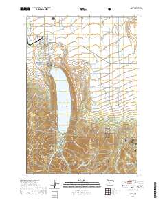
2020 Map of Joseph
USGS Topo · Published 2020About this map
Joseph sits at the northern tip of the glacial Wallowa Lake, serving as a gateway to the high peaks and protected lands of northeast Oregon. The landscape is a study in transition, where the organized grid of town streets like S Main St and E Wallowa Ave meets a sophisticated network of irrigation systems including Granger Ditch, Wrenn Dobbin Ditch, and Farmers Ditch. These waterways represent the vital agricultural infrastructure of the valley floor, contrasting sharply with the rising elevation of the Wallowa National Forest to the south.
Find a feature on this map
79 named features on this map. Tap any name to fly to it.
Don’t see what you’re looking for? This feature index may not catch every label — zoom into the map to look around manually.
Map Details
Editions of this 2020 Joseph Map
This is the sole edition of this map. No revisions or reprints were ever made.
Other maps of this area

1954 · Cornucopia
USGS Topo · 1:62,500

1954 · Eagle Cap
USGS Topo · 1:62,500

1955 · Grangeville
USGS Topo · 1:250,000

1957 · Enterprise
USGS Topo · 1:62,500

1957 · Joseph
USGS Topo · 1:62,500

1959 · Grangeville
USGS Topo · 1:250,000

1986 · Enterprise
USGS Topo · 1:100,000

1990 · Chief Joseph Mtn
USGS Topo · 1:24,000
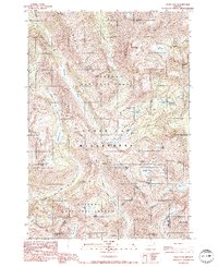
1990 · Eagle Cap
USGS Topo · 1:24,000
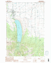
1990 · Joseph
USGS Topo · 1:24,000