2022 Map of Josephine
USGS Topo · Published 2022About this map
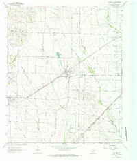
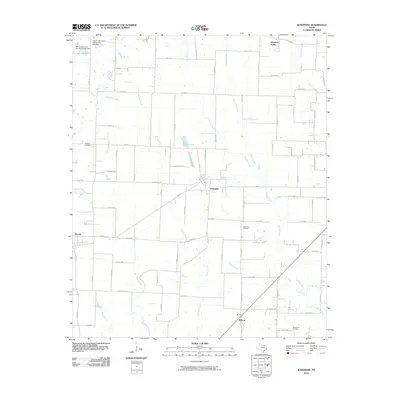
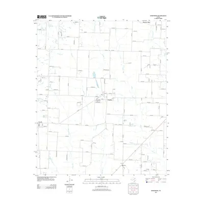
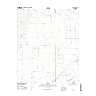
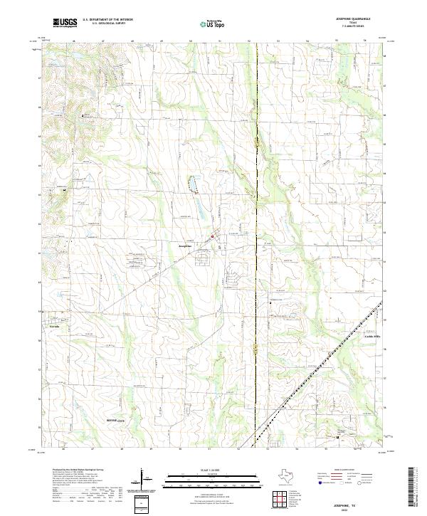
Josephine sits at the heart of this landscape where the Collin Co and Hunt Co lines meet, surrounded by a network of rural roads and creek drainages. The area is defined by the headwaters of several notable waterways, including Sabine Cr, Brushy Cr, and Bois d'Arc Cr. These seasonal streams carve through the North Texas terrain, feeding into local landmarks like Cooks Lake. To the west, the town of Nevada and the northern edge of Royse City are visible, while Caddo Mills appears in the eastern portion of the quadrangle.
Find a feature on this map
138 named features on this map. Tap any name to fly to it.
Don’t see what you’re looking for? This feature index may not catch every label — zoom into the map to look around manually.
Map Details
Editions of this 2022 Josephine Map
This is the sole edition of this map. No revisions or reprints were ever made.
Historical Maps of Royse City Through Time
6 maps found