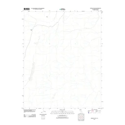
2012 Map of Joshua Flats
USGS Topo · Published 2012About this map
Joshua Flats and the surrounding high desert of Inyo County define this landscape as it appeared in the early 21st century. The topographic survey, published by the U.S. Geological Survey, captures a sparsely populated stretch of terrain where natural landforms take precedence over human development. The prominent rise of Lime Hill stands as a primary landmark in the northern portion of the quadrangle, overlooking a network of ephemeral drainages and intermittent watercourses. The drainage patterns and contour intervals revealed in this 2012 study show the complex hydrology of the eastern California desert. While modern road networks are visible, the map primarily serves as a record of the area's natural features and elevation changes, providing a clear view of the undeveloped spaces between more established Inyo County settlements.
Find a feature on this map
2 named features on this map. Tap any name to fly to it.
Don’t see what you’re looking for? This feature index may not catch every label — zoom into the map to look around manually.
Map Details
Editions of this 2012 Joshua Flats Map
This is the sole edition of this map. No revisions or reprints were ever made.
Other maps of this area

1908 · Lida
USGS Topo · 1:250,000

1913 · Bishop
USGS Topo · 1:125,000

1913 · Lida
USGS Topo · 1:250,000

1947 · Mariposa
USGS Topo · 1:250,000

1948 · Mariposa
USGS Topo · 1:250,000

1951 · Blanco Mountain
USGS Topo · 1:62,500

1951 · Waucoba Mtn.
USGS Topo · 1:62,500

1954 · Goldfield
USGS Topo · 1:250,000

1955 · Goldfield
USGS Topo · 1:250,000

1957 · Mariposa
USGS Topo · 1:250,000