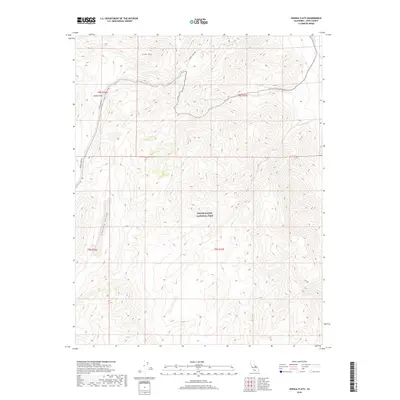
2018 Map of Joshua Flats
USGS Topo · Published 2018About this map
Death Valley National Park encompasses the southern half of this High Sierra terrain, where the high desert landscape meets the eastern edge of Inyo County. The namesake Joshua Flats sits in the northwest corner of the quadrangle, a high-altitude basin bordered by the elevations of Lime Hill. This area is defined by its isolation and limited infrastructure, primarily serviced by the primitive Loretta Mine Rd winding through the northern sections.
Find a feature on this map
9 named features on this map. Tap any name to fly to it.
Don’t see what you’re looking for? This feature index may not catch every label — zoom into the map to look around manually.
Map Details
Editions of this 2018 Joshua Flats Map
This is the sole edition of this map. No revisions or reprints were ever made.
Other maps of this area

1908 · Lida
USGS Topo · 1:250,000

1913 · Bishop
USGS Topo · 1:125,000

1913 · Lida
USGS Topo · 1:250,000

1947 · Mariposa
USGS Topo · 1:250,000

1948 · Mariposa
USGS Topo · 1:250,000

1951 · Blanco Mountain
USGS Topo · 1:62,500

1951 · Waucoba Mtn.
USGS Topo · 1:62,500

1954 · Goldfield
USGS Topo · 1:250,000

1955 · Goldfield
USGS Topo · 1:250,000

1957 · Mariposa
USGS Topo · 1:250,000