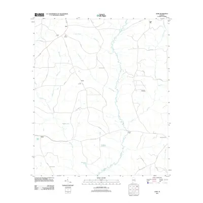
2011 Map of Josie
USGS Topo · Published 2011About this map
The Pea River meanders through this portion of Pike County, serving as a central geographic corridor for the rural communities of Josie, Enon, and Shiloh. The landscape is defined by its small-scale water systems, including Connors Creek, Cowart Branch, and several named impoundments like Hardens Pond and Barbarees Pond. For those researching local heritage, the map identifies several burial sites that anchor these historic settlements, such as the Old Ramah Cemetery near Josie and the Ephesus Cemetery in the southeast.
Find a feature on this map
47 named features on this map. Tap any name to fly to it.
Don’t see what you’re looking for? This feature index may not catch every label — zoom into the map to look around manually.
Map Details
Editions of this 2011 Josie Map
This is the sole edition of this map. No revisions or reprints were ever made.
Other maps of this area

1948 · Brundidge
USGS Topo · 1:62,500

1950 · Brundidge
USGS Topo · 1:62,500

1953 · Dothan
USGS Topo · 1:250,000

1954 · Dothan
USGS Topo · 1:250,000

1955 · Dothan
USGS Topo · 1:250,000

1960 · Brundidge
USGS Topo · 1:24,000

1962 · Brundidge
USGS Topo · 1:25,000

1968 · Perote
USGS Topo · 1:24,000

1968 · Louisville
USGS Topo · 1:24,000
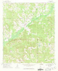
1968 · Saco
USGS Topo · 1:24,000