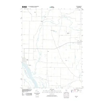
2010 Map of Joy
USGS Topo · Published 2010About this map
The Mississippi River forms the western boundary of this Mercer County landscape, where the town of New Boston sits adjacent to the river’s backwaters and Ziegler Slough. The terrain is defined by the winding course of the Edwards River, which meanders across the center of the sheet towards its confluence near Corsepius Island. This 2010 survey illustrates a primarily agricultural region punctuated by small settlements like Joy, Mannon, and Arpee. Genealogists will find several burial sites preserved in the rural sections, including Shields Cemetery and Davis Cemetery. Unusual landmarks such as Lloyd Hall and the M and J Air Incorporated Airport appear alongside local water management features like Morrison Lake Dam. The map also captures the lower reaches of Pope Creek and Mad River, providing a detailed look at the drainage patterns and rural road networks that have supported this Illinois-Iowa borderland for generations.
Find a feature on this map
58 named features on this map. Tap any name to fly to it.
Don’t see what you’re looking for? This feature index may not catch every label — zoom into the map to look around manually.
Map Details
Editions of this 2010 Joy Map
This is the sole edition of this map. No revisions or reprints were ever made.
Other maps of this area

1916 · Edgington
USGS Topo · 1:62,500

1935 · Keithsburg
USGS Topo · 1:48,000

1938 · Edgington
USGS Topo · 1:62,500

1941 · Keithsburg
USGS Topo · 1:62,500

1946 · Wapello
USGS Topo · 1:62,500

1948 · Muscatine
USGS Topo · 1:62,500

1949 · Wapello
USGS Topo · 1:62,500

1953 · Toolesboro
USGS Topo · 1:24,000

1953 · Blanchard Island
USGS Topo · 1:24,000

1953 · Buffalo Prairie
USGS Topo · 1:24,000