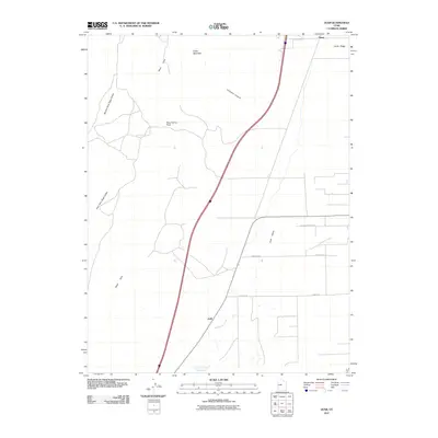
2011 Map of Juab
USGS Topo · Published 2011About this map
Juab and the northern settlement of Sharp sit within a high-desert corridor where the valley floor meets the eastern foothills of the West Hills. This 2011 survey illustrates a landscape primarily defined by its drainage and transit routes, with Chicken Creek winding through the flats toward the Chicken Creek Reservoir at the southern margin. The terrain is notably partitioned by the West Hills and Cedar Mountain, creating natural transit points such as Sage Valley Pass.
Find a feature on this map
14 named features on this map. Tap any name to fly to it.
Don’t see what you’re looking for? This feature index may not catch every label — zoom into the map to look around manually.
Map Details
Editions of this 2011 Juab Map
This is the sole edition of this map. No revisions or reprints were ever made.
Other maps of this area

1885 · Manti
USGS Topo · 1:250,000

1885 · Sevier Desert
USGS Topo · 1:250,000

1895 · Manti
USGS Topo · 1:250,000

1951 · Nephi
USGS Topo · 1:62,500

1952 · Scipio North
USGS Topo · 1:62,500

1953 · Delta
USGS Topo · 1:250,000

1956 · Price
USGS Topo · 1:250,000

1958 · Delta
USGS Topo · 1:250,000

1960 · Price
USGS Topo · 1:250,000

1962 · Price
USGS Topo · 1:250,000