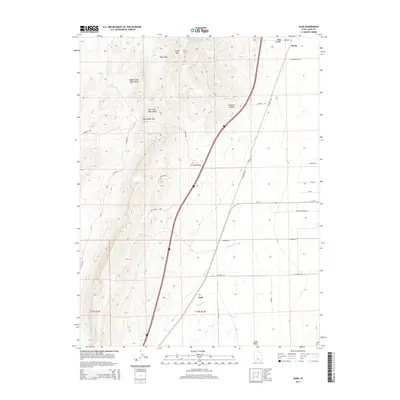
2014 Map of Juab
USGS Topo · Published 2014About this map
The settlement of Juab and the crossing of Chicken Cr anchor this 2014 study of the high desert terrain between the West Hills and the Juab Valley. The landscape is defined by the sharp transition from mountain canyons to the valley floor, where a network of local roads such as W Powell Ln and S 2000 W trace the agricultural and transit corridors of the region. High elevation features including Cedar Mtn, Lampson Canyon, and Wide Canyon dominate the northern and western portions of the quadrangle.
Find a feature on this map
31 named features on this map. Tap any name to fly to it.
Don’t see what you’re looking for? This feature index may not catch every label — zoom into the map to look around manually.
Map Details
Editions of this 2014 Juab Map
This is the sole edition of this map. No revisions or reprints were ever made.
Other maps of this area

1885 · Manti
USGS Topo · 1:250,000

1885 · Sevier Desert
USGS Topo · 1:250,000

1895 · Manti
USGS Topo · 1:250,000

1951 · Nephi
USGS Topo · 1:62,500

1952 · Scipio North
USGS Topo · 1:62,500

1953 · Delta
USGS Topo · 1:250,000

1956 · Price
USGS Topo · 1:250,000

1958 · Delta
USGS Topo · 1:250,000

1960 · Price
USGS Topo · 1:250,000

1962 · Price
USGS Topo · 1:250,000