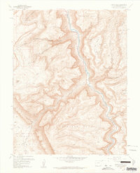
1960 Map of Juanita Arch
USGS Topo · Published 1964About this map
The Dolores River carves a deep path through this remote landscape of the Colorado plateau, a region defined by dramatic vertical relief and isolated high-ground tables. The terrain transitions from the depths of Sinbad Valley in the southwest to the towering heights of Sewemup Mesa and Tenderfoot Mesa. This 1960 revision documents a rugged industrial footprint, where numerous mineral prospects dot the canyons and mesa edges.
Find a feature on this map
19 named features on this map. Tap any name to fly to it.
Don’t see what you’re looking for? This feature index may not catch every label — zoom into the map to look around manually.
Map Details
Editions of this 1960 Juanita Arch Map
10 editions found
1961 edition
22.1 x 27.3 inches
1961 edition
22.11 x 27.11 inches
1964 edition
22.12 x 27.15 inches
1964 edition
22 x 27.3 inches
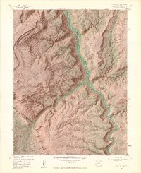
1964 edition
22.13 x 27.15 inches
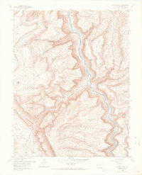
1968 edition
22.1 x 27.3 inches
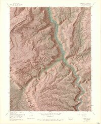
1968 edition
22.16 x 27.16 inches
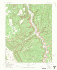
1968 edition
22.1 x 27.3 inches
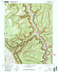
1984 edition
21.7 x 27.1 inches
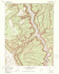
1984 edition
21.74 x 27.03 inches
Other maps of this area

1885 · La Sal
USGS Topo · 1:250,000

1916 · Paradox Valley
USGS Topo · 1:125,000

1922 · Paradox Valley
USGS Topo · 1:125,000

1948 · Roc Creek
USGS Topo · 1:24,000

1949 · Roc Creek
USGS Topo · 1:24,000

1949 · Juanita Arch
USGS Topo · 1:24,000

1949 · Red Canyon
USGS Topo · 1:24,000

1949 · Calamity Mesa
USGS Topo · 1:24,000

1949 · Gateway
USGS Topo · 1:24,000

1950 · Juanita Arch
USGS Topo · 1:24,000