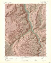
1960 Map of Juanita Arch
USGS Topo · Published 1968About this map
The Dolores River carves a deep path through the high plateaus of Mesa County, defining a landscape dominated by the isolated prominence of Sewemup Mesa and the expansive Sinbad Valley. This 1960 revision, based on 1947 aerial photography, documents a period of significant mineral exploration across the mesa tops and canyon walls. Evidence of this industry is scattered throughout the terrain, from the Mother Dee Mine in the north to the Maverick Mines and Copper Rivet Mine further south.
Find a feature on this map
26 named features on this map. Tap any name to fly to it.
Don’t see what you’re looking for? This feature index may not catch every label — zoom into the map to look around manually.
Map Details
Editions of this 1960 Juanita Arch Map
10 editions found
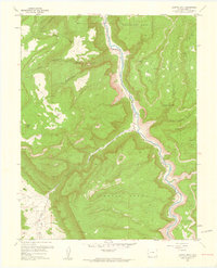
1961 edition
22.1 x 27.3 inches
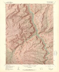
1961 edition
22.11 x 27.11 inches
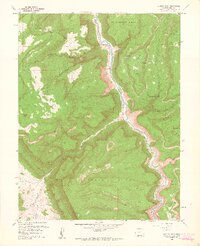
1964 edition
22.12 x 27.15 inches
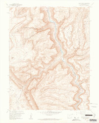
1964 edition
22 x 27.3 inches
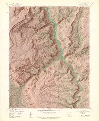
1964 edition
22.13 x 27.15 inches
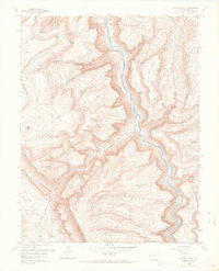
1968 edition
22.1 x 27.3 inches
1968 edition
22.16 x 27.16 inches
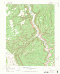
1968 edition
22.1 x 27.3 inches
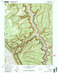
1984 edition
21.7 x 27.1 inches
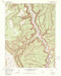
1984 edition
21.74 x 27.03 inches
Other maps of this area

1885 · La Sal
USGS Topo · 1:250,000

1916 · Paradox Valley
USGS Topo · 1:125,000

1922 · Paradox Valley
USGS Topo · 1:125,000

1948 · Roc Creek
USGS Topo · 1:24,000

1949 · Roc Creek
USGS Topo · 1:24,000

1949 · Juanita Arch
USGS Topo · 1:24,000

1949 · Red Canyon
USGS Topo · 1:24,000

1949 · Calamity Mesa
USGS Topo · 1:24,000

1949 · Gateway
USGS Topo · 1:24,000

1950 · Juanita Arch
USGS Topo · 1:24,000