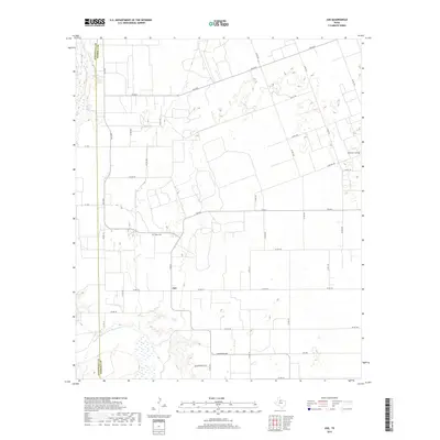
2019 Map of Jud
USGS Topo · Published 2019About this map
The Double Mountain Fork Brazos River cuts across the southwestern corner of this West Texas landscape, where the Stonewall and Haskell county line divides the terrain. Centered on the settlement of Jud, the map reveals a meticulously organized agricultural grid defined by farm-to-market roads and local routes like Carothers Ave and Hollingsworth Ln. This survey captures the rural infrastructure of the late 2010s, illustrating how modern land parcels still follow the historical township patterns of the Texas Panhandle. Local heritage is anchored by sites such as the Rochester Cem in the northeast and the Idella Cem further south, providing essential markers for genealogists and local historians tracing family lineages in this region of the Brazos River watershed.
Find a feature on this map
33 named features on this map. Tap any name to fly to it.
Don’t see what you’re looking for? This feature index may not catch every label — zoom into the map to look around manually.
Map Details
Editions of this 2019 Jud Map
This is the sole edition of this map. No revisions or reprints were ever made.
Other maps of this area

1925 · Aspermont 4-a
USGS Topo · 1:48,000

1925 · Haskell 3-b
USGS Topo · 1:48,000

1931 · Aspermont
USGS Topo · 1:62,500

1954 · Lubbock
USGS Topo · 1:250,000

1954 · Wichita Falls
USGS Topo · 1:250,000

1958 · Wichita Falls
USGS Topo · 1:250,000

1962 · Kiowa Peak
USGS Topo · 1:24,000

1965 · Jud
USGS Topo · 1:24,000
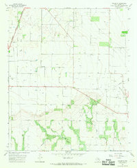
1966 · Pinkerton
USGS Topo · 1:24,000

1967 · Rochester
USGS Topo · 1:24,000