Loading...
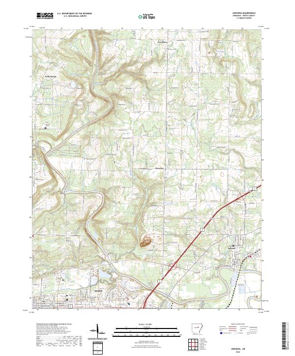
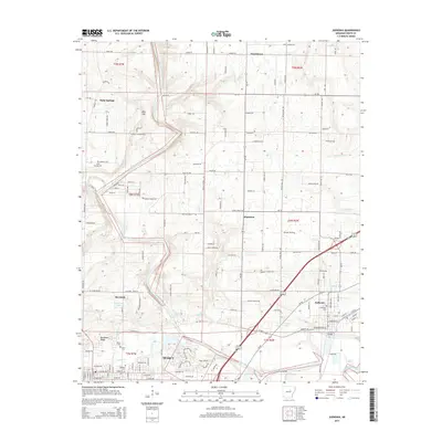
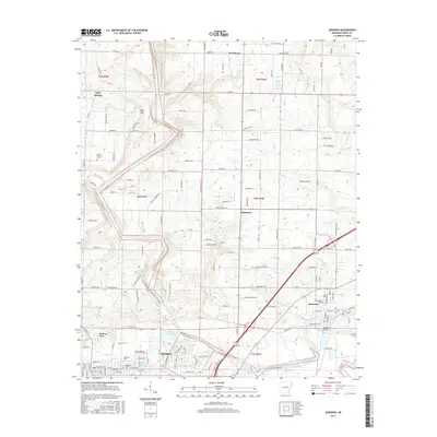
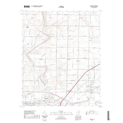
Loading map...2024 Map of Judsonia
USGS Topo · Published 2024About this map
The Little Red River defines the geographical character of this White County landscape, winding through a corridor of low-lying terrain and smaller tributaries like Adler Creek and Owl Creek. This 2024 survey captures the proximity between the growing regional hub of Searcy and the town of Judsonia to the east. The map provides significant detail for genealogists, identifying several local burial grounds including Evergreen Cem, Oaklawn Cem, and Knox Cem.
Find a feature on this map
171 named features on this map. Tap any name to fly to it.
Don’t see what you’re looking for? This feature index may not catch every label — zoom into the map to look around manually.
Map Details
Date Portrayed2024
Date Published2024
PublisherU.S. Geological Survey
Map TypeTopographic
Scale1:24,000
Physical Dimensions24 x 29 inches
Editions of this 2024 Judsonia Map
This is the sole edition of this map. No revisions or reprints were ever made.
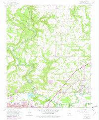
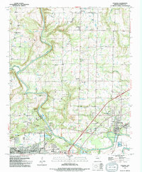
Historical Maps of Searcy Through Time
7 maps found
Featured Locations
Source Details
SourceU.S. Geological Survey
CopyrightPublic Domain