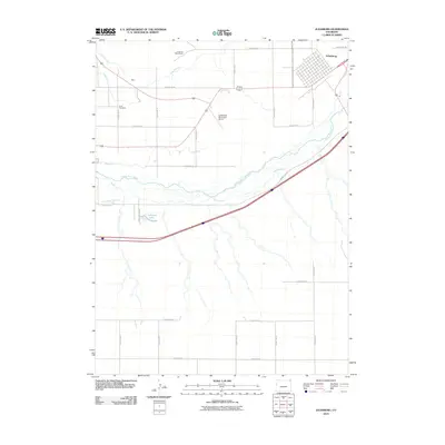
2010 Map of Julesburg
USGS Topo · Published 2010About this map
The town of Julesburg sits at the northern edge of the South Platte River, serving as a focal point for this Northeastern Colorado landscape. The river valley is defined by an intricate network of irrigation systems necessary for high-plains agriculture, including the Highline Canal, Peterson Ditch, Liddle Ditch, and Carlson Ditch. These waterways weave through the terrain, supporting the farms and homesteads that rely on the South Platte River corridor.
Find a feature on this map
28 named features on this map. Tap any name to fly to it.
Don’t see what you’re looking for? This feature index may not catch every label — zoom into the map to look around manually.
Map Details
Editions of this 2010 Julesburg Map
This is the sole edition of this map. No revisions or reprints were ever made.
Other maps of this area

1900 · Chappell
USGS Topo · 1:125,000

1952 · Julesburg SW
USGS Topo · 1:24,000

1952 · Julesburg SE
USGS Topo · 1:24,000

1953 · Ovid
USGS Topo · 1:24,000

1953 · Julesburg
USGS Topo · 1:24,000

1954 · Sterling
USGS Topo · 1:250,000

1954 · Scottsbluff
USGS Topo · 1:250,000

1958 · Scottsbluff
USGS Topo · 1:250,000

1958 · Sterling
USGS Topo · 1:250,000

1961 · Chappell
USGS Topo · 1:24,000