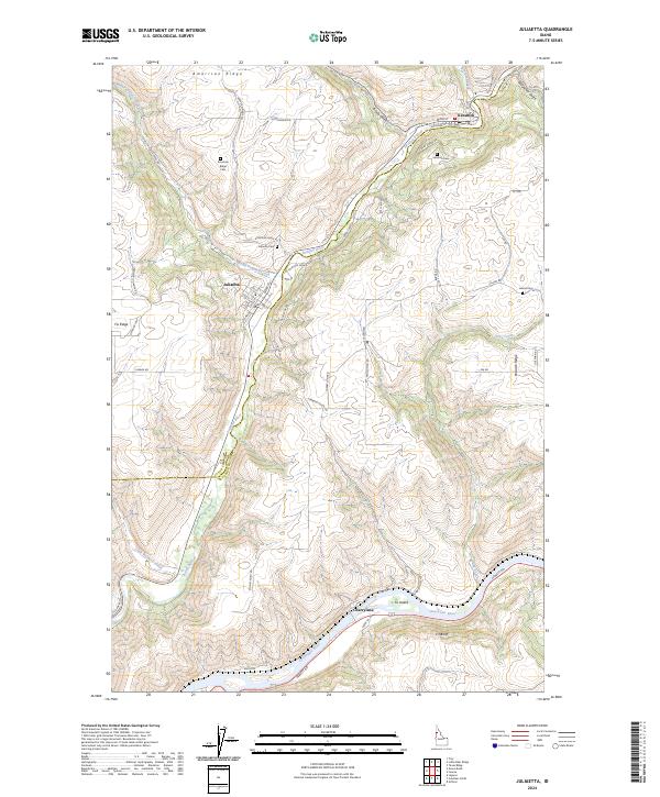
2024 Map of Juliaetta
USGS Topo · Published 2024About this map
Potlatch River canyons and high agricultural plateaus define this region of Idaho where the Latah Co Nez Perce Co line cuts across the landscape. The town of Juliaetta and nearby Kendrick serve as central hubs nestled along the river, connected by a network of steep grades like N Juliaetta Grade and McGary Grade. These routes bridge the elevation gap between the valley floor and the expansive American Ridge, where several family-named landmarks and the American Ridge Cem are located.
Find a feature on this map
65 named features on this map. Tap any name to fly to it.
Don’t see what you’re looking for? This feature index may not catch every label — zoom into the map to look around manually.
Map Details
Editions of this 2024 Juliaetta Map
This is the sole edition of this map. No revisions or reprints were ever made.
Other maps of this area

1955 · Pullman
USGS Topo · 1:250,000

1958 · Pullman
USGS Topo · 1:250,000

1958 · Lapwai
USGS Topo · 1:24,000

1958 · Lewiston Orchards
USGS Topo · 1:62,500

1958 · Culdesac
USGS Topo · 1:62,500

1960 · Troy
USGS Topo · 1:24,000

1961 · Kendrick
USGS Topo · 1:62,500

1961 · Moscow
USGS Topo · 1:62,500

1981 · Orofino
USGS Topo · 1:100,000

1981 · Potlatch
USGS Topo · 1:100,000