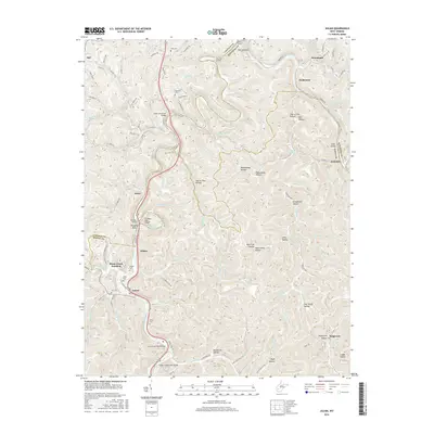
2016 Map of Julian
USGS Topo · Published 2016About this map
Little Coal River carves a deep valley through this West Virginia landscape, where the borders of Lincoln, Boone, and Kanawha counties converge. The terrain is defined by a dense network of hollows, including Rattlesnake Hollow and Hog Trough Hollow, which have historically dictated the placement of settlements and transport routes. Several small communities such as Julian and Emmons are situated along the river and rail corridors, while family-named burial sites like Pate Cem and Anderson Cem are found on higher ground. Industrial infrastructure, notably the Big Horse Creek Compressor St, highlights the region's energy economy. Engineering landmarks like the Sprout Tunnel and Blue Tom Tunnel demonstrate the technical challenges of navigating this dissected plateau, while Pinnacle Rock serves as a prominent natural landmark overlooking the valley near Irene.
Find a feature on this map
126 named features on this map. Tap any name to fly to it.
Don’t see what you’re looking for? This feature index may not catch every label — zoom into the map to look around manually.
Map Details
Editions of this 2016 Julian Map
This is the sole edition of this map. No revisions or reprints were ever made.
Other maps of this area

1899 · Charleston
USGS Topo · 1:125,000

1909 · Charleston
USGS Topo · 1:62,500

1909 · Peytona
USGS Topo · 1:48,000

1909 · Saint Albans
USGS Topo · 1:62,500

1911 · Peytona
USGS Topo · 1:62,500

1911 · Madison
USGS Topo · 1:62,500

1929 · Madison
USGS Topo · 1:62,500

1929 · Peytona
USGS Topo · 1:62,500

1931 · Madison
USGS Topo · 1:62,500

1931 · Saint Albans
USGS Topo · 1:62,500