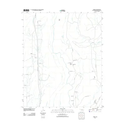
2012 Map of Jumbo
USGS Topo · Published 2012About this map
Jumbo serves as the focal point of this Pushmataha County survey, situated at the crossroads of several rural routes including E1773 Rd and Miller Jumbo Rd. The landscape is defined by its significant relief, featuring the peaks of Buck Creek Mtn, Box Springs Mtn, and Flat Top Mtn. For genealogists and local historians, the Jumbo Cem remains a critical landmark for tracing family heritage in this section of Oklahoma.
Find a feature on this map
54 named features on this map. Tap any name to fly to it.
Don’t see what you’re looking for? This feature index may not catch every label — zoom into the map to look around manually.
Map Details
Editions of this 2012 Jumbo Map
This is the sole edition of this map. No revisions or reprints were ever made.
Other maps of this area

1898 · McAlester
USGS Topo · 1:125,000

1901 · Antlers
USGS Topo · 1:125,000

1909 · Mc Alester
USGS Topo · 1:125,000

1912 · Antlers
USGS Topo · 1:125,000

1925 · Antlers
USGS Topo · 1:125,000

1950 · Mcalester
USGS Topo · 1:250,000

1957 · Farris
USGS Topo · 1:24,000

1957 · Moyers
USGS Topo · 1:24,000

1957 · Jumbo
USGS Topo · 1:24,000

1957 · Lane NE
USGS Topo · 1:24,000