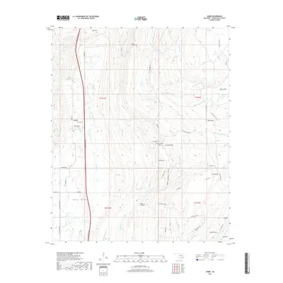
2019 Map of Jumbo
USGS Topo · Published 2019About this map
Jumbo and the agricultural lands of Impson Valley define the landscape of this Pushmataha County region in the late 2010s. The area is dominated by significant ridgelines and summits including Daisy Mtn, White Rock Mtn, and Horsehead Mtn, which frame a network of drainages like Tenmile Cr and Buck Creek. The modern Indian Nation Tpke cuts a north-south path through the center of the sheet, providing a stark contrast to the older local infrastructure like Johns Valley Rd and the primitive Monkey Wrench Trl. Genealogists may find interest in the Jumbo Cem located near the primary settlement, while the map's detailed road network, including uniquely named points like Cowboy's Corner, provides a clear view of the contemporary rural transit patterns in this part of Oklahoma.
Find a feature on this map
62 named features on this map. Tap any name to fly to it.
Don’t see what you’re looking for? This feature index may not catch every label — zoom into the map to look around manually.
Map Details
Editions of this 2019 Jumbo Map
This is the sole edition of this map. No revisions or reprints were ever made.
Other maps of this area

1898 · McAlester
USGS Topo · 1:125,000

1901 · Antlers
USGS Topo · 1:125,000

1909 · Mc Alester
USGS Topo · 1:125,000

1912 · Antlers
USGS Topo · 1:125,000

1925 · Antlers
USGS Topo · 1:125,000

1950 · Mcalester
USGS Topo · 1:250,000

1957 · Farris
USGS Topo · 1:24,000

1957 · Moyers
USGS Topo · 1:24,000

1957 · Jumbo
USGS Topo · 1:24,000

1957 · Lane NE
USGS Topo · 1:24,000