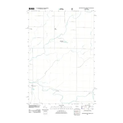
2011 Map of Jump River Fire Tower NE
USGS Topo · Published 2011About this map
The North Fork Jump River and South Fork Jump River dominate this pocket of Price County, where a network of water management features and local roads defines the landscape. The map shows several specific hydraulic structures including the Ronald Winter H1876 Dam and the Lower Steve Creek 2WP1332 Dam, indicating a reliance on controlled flow for local conservation and wildlife management. These dams create significant water bodies like the Town Corners Flowage and Steve Creek Flowage.
Find a feature on this map
33 named features on this map. Tap any name to fly to it.
Don’t see what you’re looking for? This feature index may not catch every label — zoom into the map to look around manually.
Map Details
Editions of this 2011 Jump River Fire Tower NE Map
This is the sole edition of this map. No revisions or reprints were ever made.
Other maps of this area

1941 · Kennan
USGS Topo · 1:48,000

1941 · Phillips
USGS Topo · 1:48,000

1943 · Philliips
USGS Topo · 1:48,000

1944 · Ogema
USGS Topo · 1:48,000

1945 · Kennan
USGS Topo · 1:48,000

1945 · Black River
USGS Topo · 1:48,000

1947 · Ogema
USGS Topo · 1:48,000

1949 · Ogema
USGS Topo · 1:48,000

1949 · Jump River Fire Tower
USGS Topo · 1:48,000

1953 · Rice Lake
USGS Topo · 1:250,000