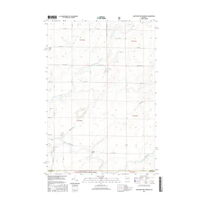
2015 Map of Jump River Fire Tower NE
USGS Topo · Published 2015About this map
The Chequamegon National Forest defines the southern reach of this landscape at the junction of Price and Taylor counties. The area is defined by the convergence of the North Fork Jump River and South Fork Jump River, with the distinctive Yellow Banks terrain feature overlooking the river bends. Remote aviation is represented by the Lonely Pines Airport in the northwest, while the forest's water management is visible through the Township Corners Flowage and Steve Cr Flowage. A complex network of timber and fire roads, such as Catawba Fire Ln and Timber Rd, provides access for forestry and recreation. The map captures the quiet, woodland character of the Jump River headwaters, including smaller tributaries like Marsh Cr, Meadow Cr, and Hobbles Cr that feed the river system.
Find a feature on this map
45 named features on this map. Tap any name to fly to it.
Don’t see what you’re looking for? This feature index may not catch every label — zoom into the map to look around manually.
Map Details
Editions of this 2015 Jump River Fire Tower NE Map
This is the sole edition of this map. No revisions or reprints were ever made.
Other maps of this area

1941 · Kennan
USGS Topo · 1:48,000

1941 · Phillips
USGS Topo · 1:48,000

1943 · Philliips
USGS Topo · 1:48,000

1944 · Ogema
USGS Topo · 1:48,000

1945 · Kennan
USGS Topo · 1:48,000

1945 · Black River
USGS Topo · 1:48,000

1947 · Ogema
USGS Topo · 1:48,000

1949 · Ogema
USGS Topo · 1:48,000

1949 · Jump River Fire Tower
USGS Topo · 1:48,000

1953 · Rice Lake
USGS Topo · 1:250,000