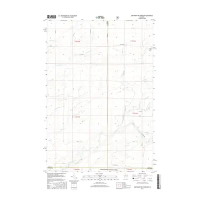
2015 Map of Jump River Fire Tower NW
USGS Topo · Published 2015About this map
The Chequamegon National Forest anchors this portion of north-central Wisconsin, where the headwaters of several drainages converge. The landscape is defined by the winding paths of the Jump River and its major tributaries, including the North Fork Jump River and the South Fork Jump River. These waterways, along with smaller streams like Crazy Horse Cr and Mox Cr, dictate the layout of the rural road network, which primarily follows section lines but often bends to accommodate the shifting creek beds and wetlands.
Find a feature on this map
38 named features on this map. Tap any name to fly to it.
Don’t see what you’re looking for? This feature index may not catch every label — zoom into the map to look around manually.
Map Details
Editions of this 2015 Jump River Fire Tower NW Map
This is the sole edition of this map. No revisions or reprints were ever made.
Other maps of this area

1941 · Kennan
USGS Topo · 1:48,000

1945 · Kennan
USGS Topo · 1:48,000

1945 · Black River
USGS Topo · 1:48,000

1945 · Ingram
USGS Topo · 1:48,000

1947 · Ingram
USGS Topo · 1:48,000

1947 · Sheldon
USGS Topo · 1:48,000

1949 · Sheldon
USGS Topo · 1:48,000

1949 · Jump River Fire Tower
USGS Topo · 1:48,000

1953 · Rice Lake
USGS Topo · 1:250,000

1959 · Rice Lake
USGS Topo · 1:250,000