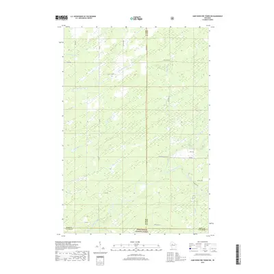
2018 Map of Jump River Fire Tower NW
USGS Topo · Published 2018About this map
Chequamegon National Forest encompasses the southern portion of this landscape, where the convergence of the North Fork Jump River and South Fork Jump River defines the local topography. This hydrologically complex area in Northern Wisconsin is marked by numerous small tributaries including Crazy Horse Cr, Alden Cr, and Gilbert Cr. The map reveals a transition between dense forest and a managed network of rural roads like River Rd and Ranch Rd. Of particular interest is Big Falls, a notable natural landmark on the South Fork. The boundary between Taylor, Price, and Rusk counties meets here, illustrating how these river systems and the national forest lands dictate the regional borders and travel patterns. For researchers, the presence of family-named roads such as Nessa Rd and Morgan Rd indicates the persistent footprint of local residents within this protected woodland environment.
Find a feature on this map
30 named features on this map. Tap any name to fly to it.
Don’t see what you’re looking for? This feature index may not catch every label — zoom into the map to look around manually.
Map Details
Editions of this 2018 Jump River Fire Tower NW Map
This is the sole edition of this map. No revisions or reprints were ever made.
Other maps of this area

1941 · Kennan
USGS Topo · 1:48,000

1945 · Kennan
USGS Topo · 1:48,000

1945 · Black River
USGS Topo · 1:48,000

1945 · Ingram
USGS Topo · 1:48,000

1947 · Ingram
USGS Topo · 1:48,000

1947 · Sheldon
USGS Topo · 1:48,000

1949 · Sheldon
USGS Topo · 1:48,000

1949 · Jump River Fire Tower
USGS Topo · 1:48,000

1953 · Rice Lake
USGS Topo · 1:250,000

1959 · Rice Lake
USGS Topo · 1:250,000